
Image: Mary and Eliza Freeman Houses map 1850
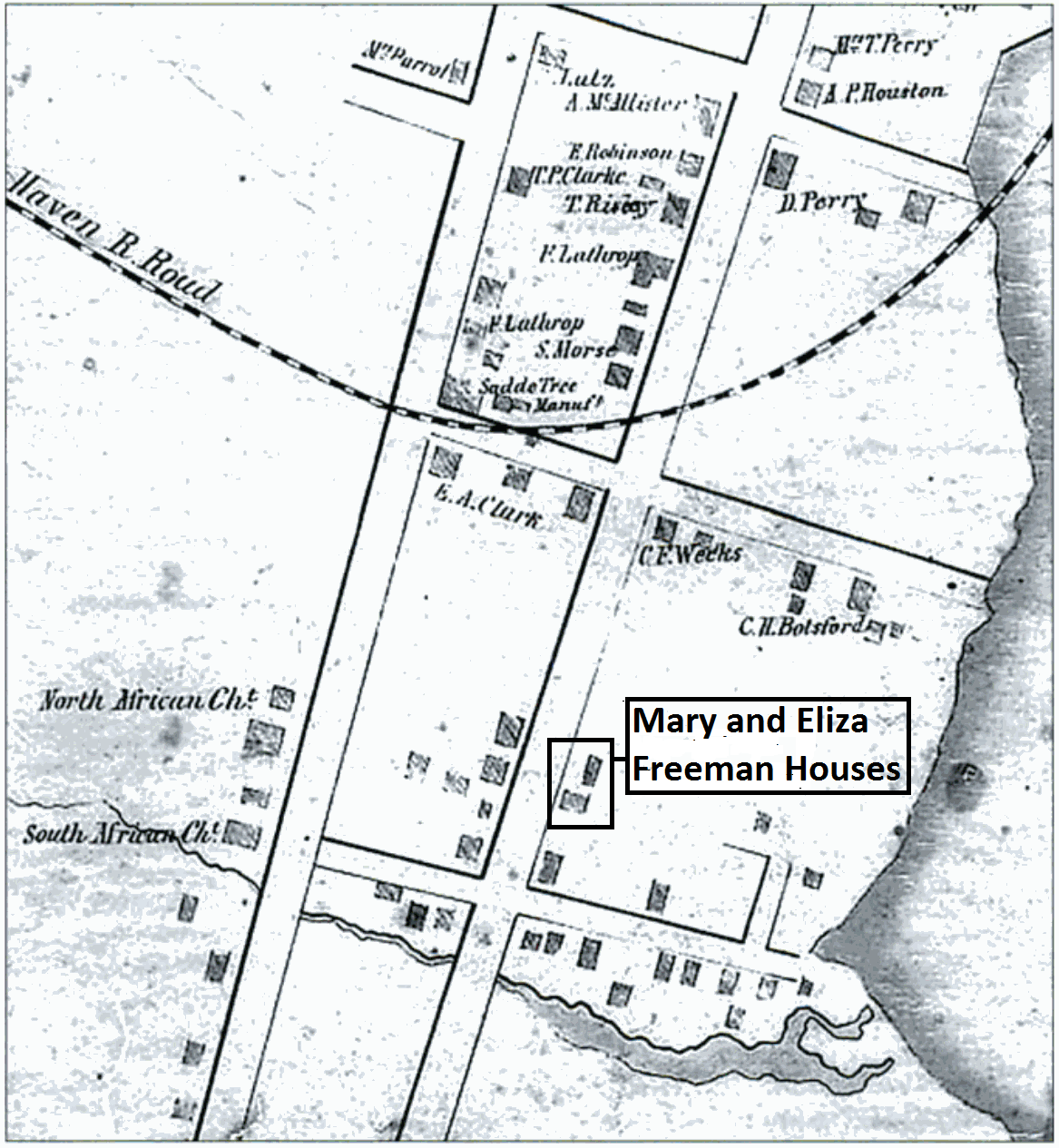
Description: Map of South End neighborhood of Bridgeport, Connecticut depicting churches of Little Liberia, an African American neighborhood with designations of historic homes.
Title: Mary and Eliza Freeman Houses map 1850
Credit: Little_Liberia_(Bridgeport,_Connecticut)_1850.png
Author: Little_Liberia_(Bridgeport,_Connecticut)_1850.png: Collins & Clark (per National Register of Historic Places Registration Form: Mary and Eliza Freeman Houses) derivative work: AbbyKelleyite (talk)
Permission: This image might not be in the public domain outside of the United States; this especially applies in the countries and areas that do not apply the rule of the shorter term for US works, such as Canada, Mainland China (not Hong Kong or Macao), Germany, Mexico, and Switzerland. The creator and year of publication are essential information and must be provided. See Wikipedia:Public domain and Wikipedia:Copyrights for more details.
Usage Terms: Public domain
License: Public domain
Attribution Required?: No
Image usage
The following page links to this image:
