
Image: Mediterranean1400
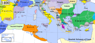
Size of this preview: 799 × 361 pixels. Other resolutions: 320 × 145 pixels | 1,215 × 549 pixels.
Original image (1,215 × 549 pixels, file size: 187 KB, MIME type: image/png)
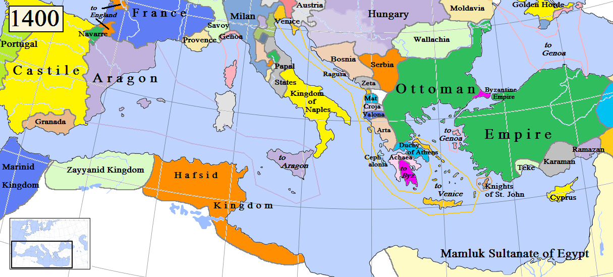
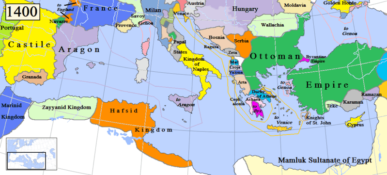
Description: Map of the Mediterranean region in AD 1400. (Partially based on Euratlas map of Europe, 1400.) (NOTE: THIS MAP IS RATHER PROVISORY AND INACCURATE!!! THE AUTHOR SHOULD MAKE IT BETTER! HE COULD USE FOR INSTANCE THE FOLLOWING MAP ON THE WIKIMEDIA COMMONS: (MADE BY GUSTAV DROYSEN IN 1886, VERY MUCH ACCURATE) OR OTHER SUCH OR SIMILAR MAPS.
Title: Mediterranean1400
Credit: Own work
Author: Gabagool
Usage Terms: Creative Commons Attribution 3.0
License: CC BY 3.0
License Link: http://creativecommons.org/licenses/by/3.0
Attribution Required?: Yes
Image usage
The following 2 pages link to this image:

All content from Kiddle encyclopedia articles (including the article images and facts) can be freely used under Attribution-ShareAlike license, unless stated otherwise.