
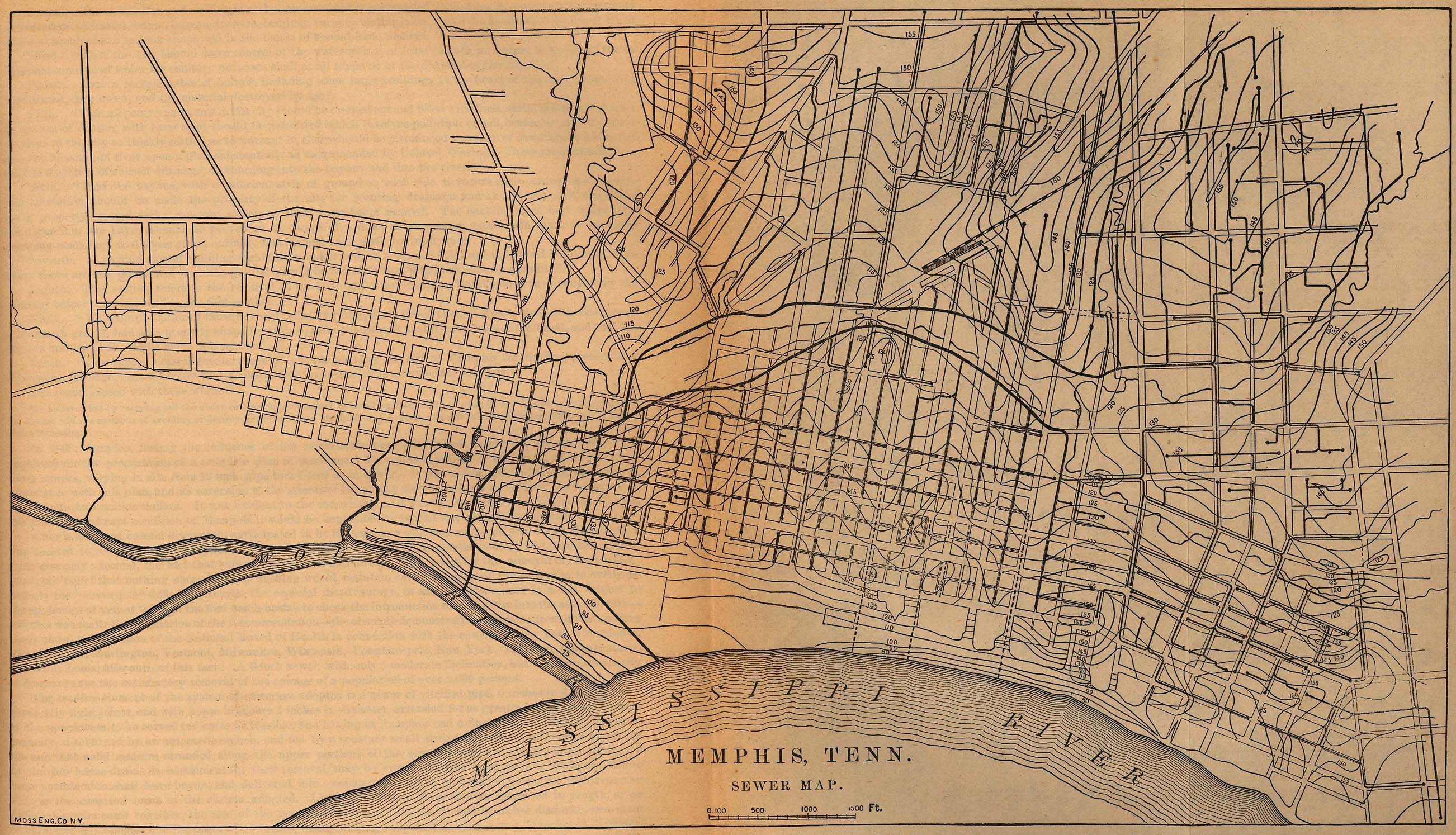
Image: Memphis sewers 1880
Size of this preview: 800 × 459 pixels. Other resolutions: 320 × 184 pixels | 2,604 × 1,494 pixels.
Original image (2,604 × 1,494 pixels, file size: 849 KB, MIME type: image/jpeg)
Description: Map of the Memphis sewer system in 1880, originally listed at https://legacy.lib.utexas.edu/maps/tennessee.html
Title: Memphis sewers 1880
Credit: https://legacy.lib.utexas.edu/maps/historical/memphis_sewers_1880.jpg
Author: "Memphis, Tenn. Sewer Map." From Report on the Social Statistics of Cities, Compiled by George E. Waring, Jr., United States. Census Office, Part II, 1886
Usage Terms: Public domain
License: Public domain
Attribution Required?: No
Image usage
The following 3 pages link to this image:

All content from Kiddle encyclopedia articles (including the article images and facts) can be freely used under Attribution-ShareAlike license, unless stated otherwise.