
Image: Mexico Aguascalientes location map

Size of this PNG preview of this SVG file: 741 × 599 pixels. Other resolution: 297 × 240 pixels.
Original image (SVG file, nominally 1,988 × 1,608 pixels, file size: 82 KB)
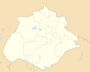
Description: Location Map of Aguascalientes Equirectangular projection, Geographic limits of the map: N: 22.50° N S: 21.60° N W: 102.90° W E: 101.70° W
Title: Mexico Aguascalientes location map
Credit: Own work
Author: Addicted04
Usage Terms: Public domain
License: Public domain
Attribution Required?: No
Image usage
The following 5 pages link to this image:

All content from Kiddle encyclopedia articles (including the article images and facts) can be freely used under Attribution-ShareAlike license, unless stated otherwise.