
Image: Mexico Estado de Mexico location map

Size of this PNG preview of this SVG file: 512 × 511 pixels. Other resolution: 240 × 240 pixels.
Original image (SVG file, nominally 512 × 511 pixels, file size: 984 KB)
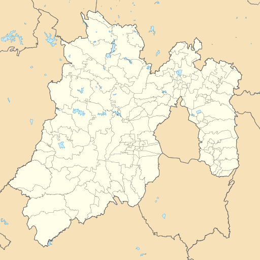
Description: Location Map of Estado de México Equirectangular projection, Geographic limits of the map: N: 20.37° N S: 18.26° N W: 100.68° W E: 98.44° W
Title: Mexico Estado de Mexico location map
Credit: Sources of data: INEGI, Marco Geoestadístico Nacional, 2014. (Free use of the data)
Author: Battroid (talk)
Usage Terms: Public domain
License: Public domain
Attribution Required?: No
Image usage
The following 16 pages link to this image:
- Apaxco de Ocampo (town)
- Cerro Mesa Ahumada
- Ciudad López Mateos
- Colonia Santa Lucía
- Felipe Ángeles International Airport
- Hueypoxtla
- Mexico City Santa Lucía Airport
- Nevado de Toluca
- San Francisco Chimalpa
- Santa Lucía, Zumpango
- Santa María Ajoloapan
- Teotihuacán
- Teotihuacán Municipality
- Tepotzotlán
- Tlapanaloya
- Valle de Bravo

All content from Kiddle encyclopedia articles (including the article images and facts) can be freely used under Attribution-ShareAlike license, unless stated otherwise.