
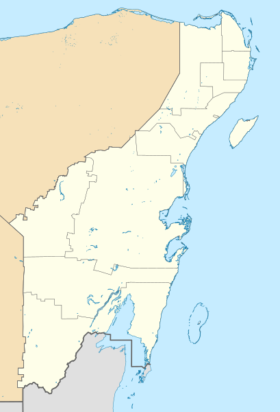
Image: Mexico Quintana Roo location map

Size of this PNG preview of this SVG file: 409 × 600 pixels. Other resolution: 163 × 240 pixels.
Original image (SVG file, nominally 960 × 1,408 pixels, file size: 832 KB)
Description: Location Map of Quintana Roo. EPSG:3857 projection, Geographic limits of the map: N: 21.70° N S: 17.70° N W: 89.40° W E: 86.50° W
Title: Mexico Quintana Roo location map
Credit: Sources of data: INEGI, Marco Geoestadístico Nacional, 2014. (Free use of the data)
Author: Addicted04 (talk)
Usage Terms: Creative Commons Attribution-Share Alike 3.0
License: CC BY-SA 3.0
License Link: https://creativecommons.org/licenses/by-sa/3.0
Attribution Required?: Yes
Image usage
The following 9 pages link to this image:

All content from Kiddle encyclopedia articles (including the article images and facts) can be freely used under Attribution-ShareAlike license, unless stated otherwise.