
Image: Mexico Zacatecas location map

Size of this PNG preview of this SVG file: 472 × 600 pixels. Other resolution: 189 × 240 pixels.
Original image (SVG file, nominally 4,024 × 5,111 pixels, file size: 126 KB)
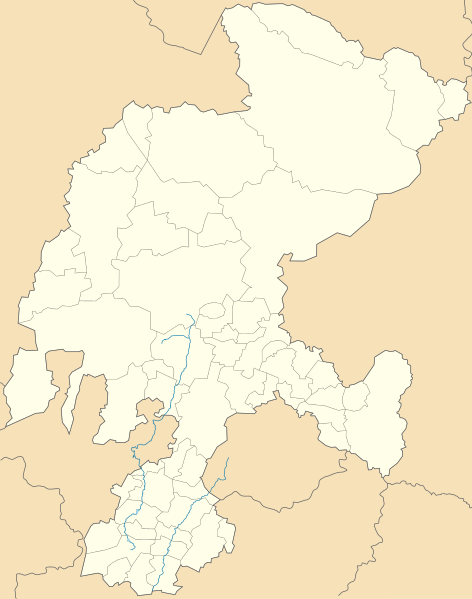
Description: Location Map of Zacatecas Equirectangular projection, Geographic limits of the map: N: 25.19° N S: 21.00° N W: 104.40° W E: 100.69° W
Title: Mexico Zacatecas location map
Credit: Own work
Author: MikSed
Usage Terms: Creative Commons Attribution-Share Alike 3.0
License: CC BY-SA 3.0
License Link: https://creativecommons.org/licenses/by-sa/3.0
Attribution Required?: Yes
Image usage
The following 11 pages link to this image:

All content from Kiddle encyclopedia articles (including the article images and facts) can be freely used under Attribution-ShareAlike license, unless stated otherwise.