
Image: Michigan rail map galbraith 1897
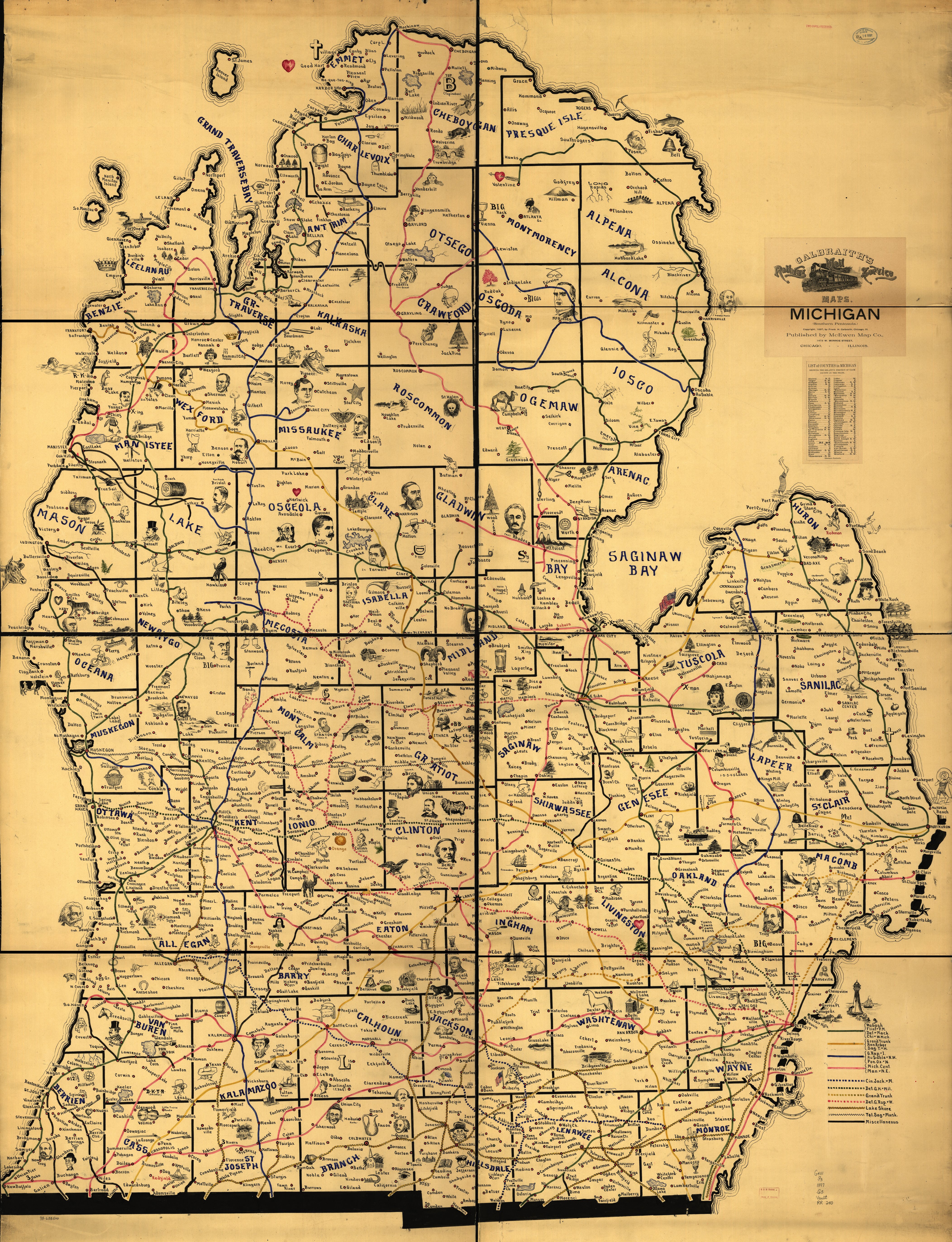
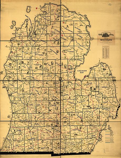
Description: Railroad map of Michigan circa 1897. LOC description: One of eight large-scale pictorial maps of midwestern states showing routes and post offices of the Railway Mail Service. Designed by Chicago railway mail clerk Frank H. Galbraith to help employees of the Railway Mail Service quickly locate counties and post offices. The maps were rented for practicing or prospective workers who numbered over 6,000 and traveled over a million miles a year on the rails sorting mail. A printed title cartouche accompanied by a list of counties for each of the states by McEwen Map Company of Chicago is pasted on the maps.
Title: Michigan rail map galbraith 1897
Credit: Scanned map from Library of Congress
Author: Frank H. Galbraith
Usage Terms: Public domain
License: Public domain
Attribution Required?: No
Image usage
The following page links to this image:
