
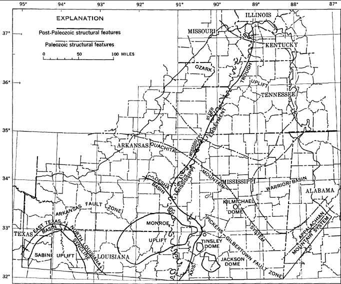
Image: Mississippi Embayment Structural Map
No higher resolution available.
Mississippi_Embayment_Structural_Map.png (682 × 568 pixels, file size: 107 KB, MIME type: image/png)
Description: Mississippi Embayment Structural Map
Title: Mississippi Embayment Structural Map
Credit: General Geology of the Mississippi Embayment, USGS Professional Paper 448-B
Author: E. M. GUSHING, E. H. BOSWELL, and R. L. HOSMAN
Usage Terms: Public domain
License: Public domain
Attribution Required?: No
Image usage
The following page links to this image:

All content from Kiddle encyclopedia articles (including the article images and facts) can be freely used under Attribution-ShareAlike license, unless stated otherwise.