
Image: Modern Asia (1796)
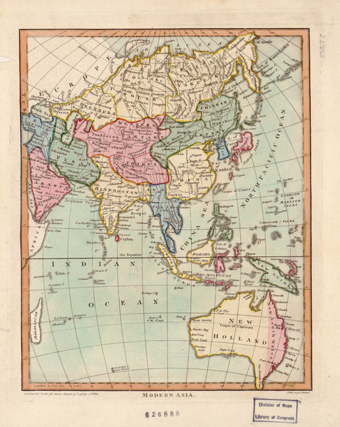
Description: John Wilkes was a London publisher best known for his Encyclopaedia Londinensis; or, universal dictionary of arts, sciences, and literature (1801-28). Wilkes frequently worked with Samuel John Neele, the engraver of this hand-colored map of “modern Asia.” The map reflects late 18th-century European geographic conceptions and terminology. India is referred to as “Hindoostan,” while much of the interior is shown as comprised of “Western Tartary” and “Chinese Tartary.” “Tartary” was a designation applied by Europeans to those parts of Asia inhabited by nomadic Turkic and Mongol peoples. This map shows Tartary as stretching from the Caspian Sea to the Pacific Ocean.
Title: Modern Asia (1796)
Credit: http://www.wdl.org/en/item/154/
Author: Wilkes of Milland House, Sussex, John
Usage Terms: Public domain
License: Public domain
Attribution Required?: No
Image usage
The following page links to this image:
