
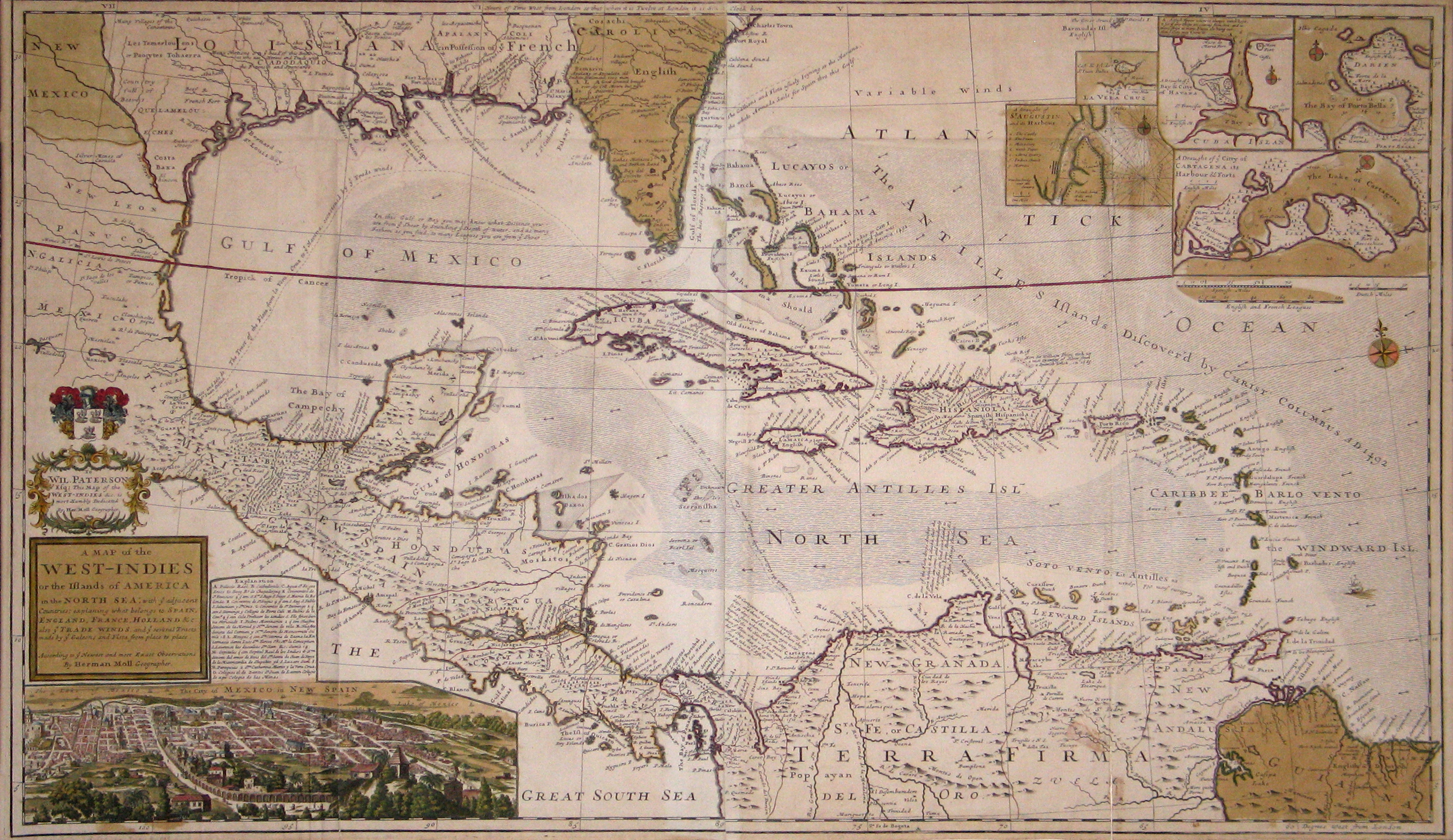
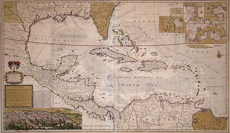
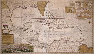
Image: Moll Map of the West-Indies or the Islands of America in the North Sea c. 1715 UTA
Size of this preview: 800 × 463 pixels. Other resolutions: 320 × 185 pixels | 2,712 × 1,569 pixels.
Original image (2,712 × 1,569 pixels, file size: 3.76 MB, MIME type: image/jpeg)
Title: A Map of the West-Indies or the Islands of America in the North Sea...
Credit: UTA Libraries Cartographic Connections: map / text
Author: Herman Moll
Usage Terms: Public domain
License: Public domain
Attribution Required?: No
Image usage
The following page links to this image:

All content from Kiddle encyclopedia articles (including the article images and facts) can be freely used under Attribution-ShareAlike license, unless stated otherwise.