
Image: Mountain meadows map5
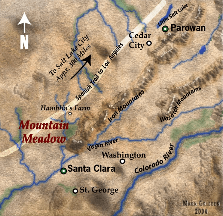
Description: Map of Southern Utah in 1857, highlighting the Mountain Meadows area including the Wasatch Mountains and Colorado River. This is a cropped version of Image:Mountain meadows map5.jpg in the more appropriate PNG format. Note: This map is not accurate, although I can't speak to how effectively it locates the Hamblin house (now a museum in Santa Clara) or Mountain Meadows. Washington, St. George, and Santa Clara are all shown 10-20 miles east of their actual locations. Notice that Santa Clara, not St. George, is shown to be on the Virgin River.
Title: Mountain meadows map5
Credit: I made this image myself.
Author: Marklemagne
Permission: Public domain
Usage Terms: Public domain
License: Public domain
Attribution Required?: No
Image usage
The following 2 pages link to this image:
