
Image: Munnar Top station
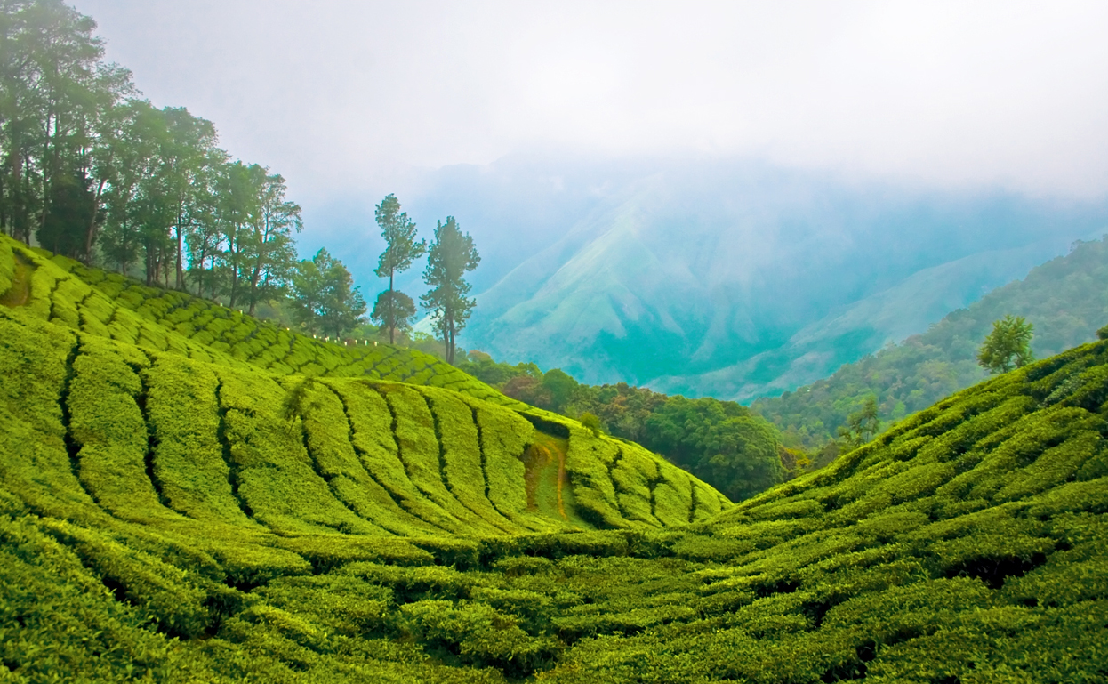
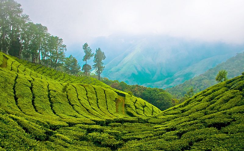
Description: Top station, 41 km (1hr) from Munnar is aptly named, as it is home to some of the highest tea plantations in India. It lies on the state border between Kerala and Tamilnadu and commands a panoramic view of rolling green hills.
Title: Munnar Top station
Credit: Top Station - Munnar
Author: Bimal K C from Cochin, India
Permission: .mw-parser-output .responsive-license-cc{clear:both;text-align:center;box-sizing:border-box;width:100%;justify-content:space-around;align-items:center;margin:0.5em auto;background-color:#f9f9f9;border:2px solid #e0e0e0;border-spacing:8px;display:flex}.mw-parser-output .responsive-license-cc div{margin:4px}.mw-parser-output .rlicense-text div{margin:0.5em auto}@media screen and (max-width:640px){.mw-parser-output .responsive-license-cc{flex-flow:column}.mw-parser-output .rlicense-text{order:1}} This file is licensed under the Creative Commons Attribution 2.0 Generic license. You are free: to share – to copy, distribute and transmit the work to remix – to adapt the work Under the following conditions: attribution – You must give appropriate credit, provide a link to the license, and indicate if changes were made. You may do so in any reasonable manner, but not in any way that suggests the licensor endorses you or your use.https://creativecommons.org/licenses/by/2.0CC BY 2.0 Creative Commons Attribution 2.0 truetrue This image was originally posted to Flickr by kcbimal at https://www.flickr.com/photos/12555839@N00/2743218499. It was reviewed on 12 August 2008 by FlickreviewR and was confirmed to be licensed under the terms of the cc-by-2.0. 12 August 2008
Usage Terms: Creative Commons Attribution 2.0
License: CC BY 2.0
License Link: https://creativecommons.org/licenses/by/2.0
Attribution Required?: Yes
Image usage
The following page links to this image:
