
Image: NJ-46 Ko-erh-mu
Size of this preview: 552 × 600 pixels. Other resolutions: 221 × 240 pixels | 4,843 × 5,262 pixels.
Original image (4,843 × 5,262 pixels, file size: 8.12 MB, MIME type: image/jpeg)
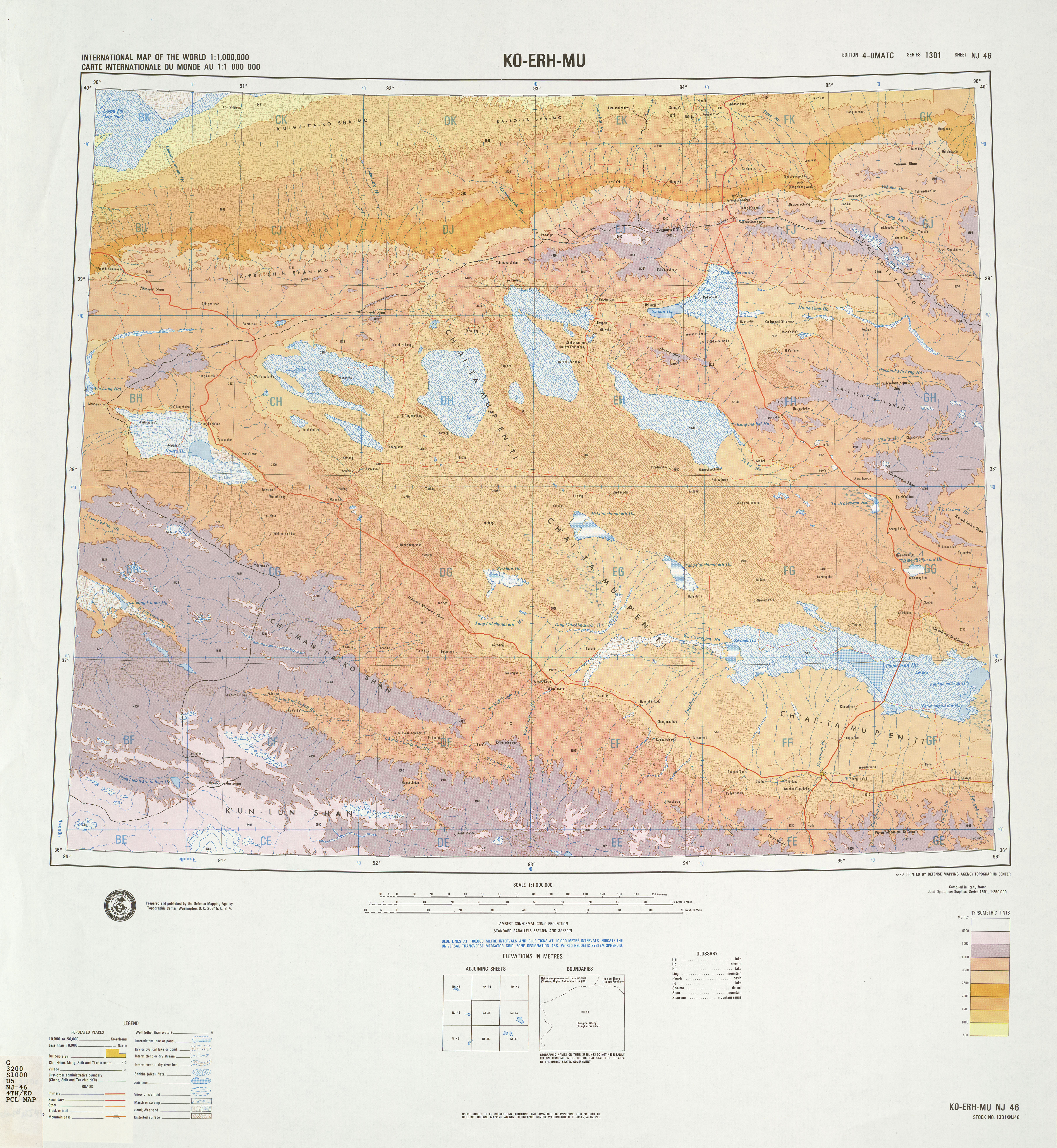
Description: A map of the western Qaidam Basin in Qinghai, China. Names given in Chinese using Wade–Giles romanization. ("Ko-erh-mu" = Golmud.) Elevation given in meters above sea level.
Title: NJ-46 Ko-erh-mu
Credit: NJ-46: Ko-erh-mu & NJ-47: Hsi-ning, hosted at the University of Texas's Perry–Castañeda Library Map Collection
Author: Topographic Center of the United States Defense Mapping Agency
Usage Terms: Public domain
License: Public domain
Attribution Required?: No
Image usage
The following page links to this image:

All content from Kiddle encyclopedia articles (including the article images and facts) can be freely used under Attribution-ShareAlike license, unless stated otherwise.