
Image: NWPenn
Size of this preview: 800 × 460 pixels. Other resolutions: 320 × 184 pixels | 1,920 × 1,104 pixels.
Original image (1,920 × 1,104 pixels, file size: 221 KB, MIME type: image/png)
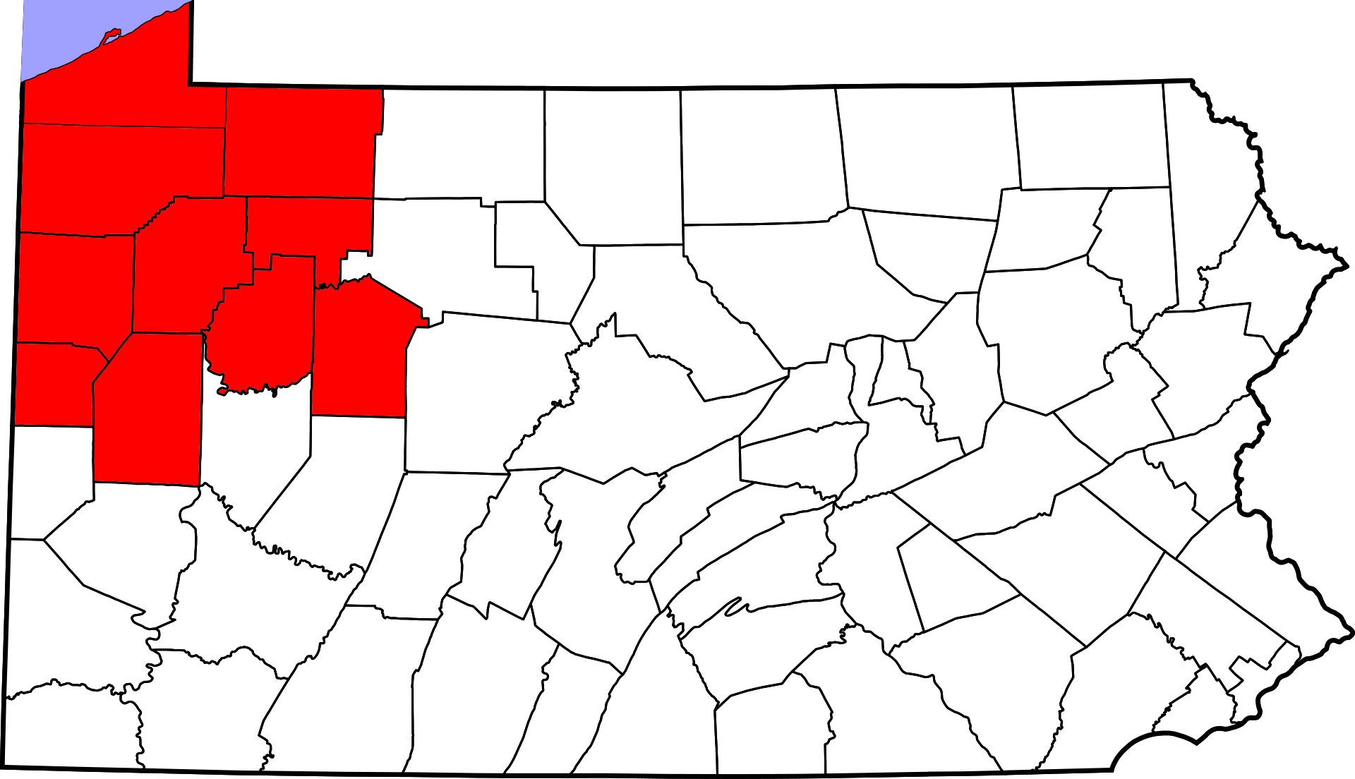
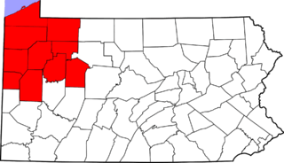
Description: This is a locator map showing counties in Northwestern Pennsylvania
Title: NWPenn
Credit: The maps use data from nationalatlas.gov, specifically countyp020.tar.gz on the Raw Data Download page. The maps also use state outline data from statesp020.tar.gz. The Florida maps use hydrogm020.tar.gz to display Lake Okeechobee.
Author: 636Buster
Usage Terms: Creative Commons Attribution-Share Alike 4.0
License: CC BY-SA 4.0
License Link: http://creativecommons.org/licenses/by-sa/4.0
Attribution Required?: Yes
Image usage
The following page links to this image:

All content from Kiddle encyclopedia articles (including the article images and facts) can be freely used under Attribution-ShareAlike license, unless stated otherwise.