
Image: New York Locator Map with US
No higher resolution available.
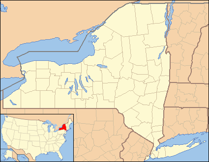
New_York_Locator_Map_with_US.PNG (425 × 330 pixels, file size: 20 KB, MIME type: image/png)
Description: Locator Map of New York, United States
Title: New York Locator Map with US
Credit: taken from US Census website [1] and modified by User:Ruhrfisch, User:Huebi, and User:Appraiser
Author: US Census, User:Ruhrfisch, User:Huebi, and User:Appraiser
Permission: US Census / US Government work is public domain, my modifications licensed under the GNU Free Documentation License
Usage Terms: Public domain
License: Public domain
Attribution Required?: No
Image usage
The following 36 pages link to this image:
- Alcove, New York
- Andes, New York
- Andover, New York
- Angelica, New York
- Avoca, New York
- Belfast (CDP), New York
- Big Flats, New York
- Blue Lake (New York)
- Brooklyn Navy Yard
- Candor, New York
- Castile, New York
- Cherry Valley, New York
- Cuylerville, New York
- Delhi, New York
- Edwards, New York
- Ellicottville, New York
- Fishkill, New York
- Fleischmanns, New York
- Fowlerville, Erie County, New York
- Fowlerville, Livingston County, New York
- Franklin, Delaware County, New York
- Griffins Mills, New York
- Hermon, New York
- Horseheads, New York
- Hurley, New York
- Leicester, New York
- Lima, New York
- Lisle, New York
- Little Valley, New York
- Livonia, New York
- Lodi, New York
- Lowville, New York
- Margaretville, New York
- Mayfield, New York
- West Valley, New York
- Template:Location map USA New York 2

All content from Kiddle encyclopedia articles (including the article images and facts) can be freely used under Attribution-ShareAlike license, unless stated otherwise.