
Image: Niagara River 1812
Size of this preview: 800 × 450 pixels. Other resolutions: 320 × 180 pixels | 1,527 × 858 pixels.
Original image (1,527 × 858 pixels, file size: 155 KB, MIME type: image/jpeg)
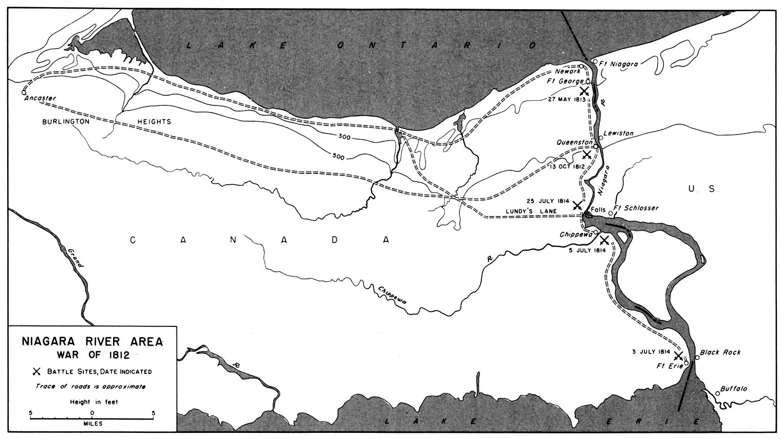
Description: Map of the Lake Ontario - Niagara River region, showing points of interest during the War of 1812
Title: Niagara River 1812
Credit: University of Texas Library, Perry-Castañeda Library Map Collection
Author: Public Domain, Map created more than 100 years ago
Usage Terms: Public domain
License: Public domain
Attribution Required?: No
Image usage
The following 2 pages link to this image:

All content from Kiddle encyclopedia articles (including the article images and facts) can be freely used under Attribution-ShareAlike license, unless stated otherwise.