
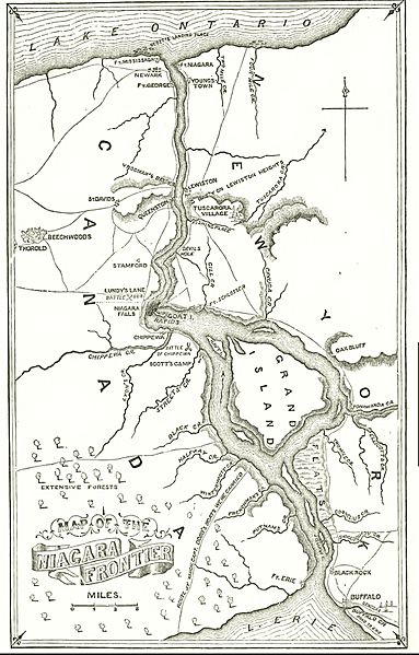
Image: Niagra River and Territory, 1812

Size of this preview: 383 × 599 pixels. Other resolutions: 153 × 240 pixels | 1,473 × 2,305 pixels.
Original image (1,473 × 2,305 pixels, file size: 550 KB, MIME type: image/jpeg)
Description: Map of Niagra River and Territory, 1812
Title: Niagra River and Territory, 1812
Credit: Lossing, Benn, (1896). Pictorial Field Book of the War of 1812, p. 382
Author: Unknown authorUnknown author
Usage Terms: Public domain
License: Public domain
Attribution Required?: No
Image usage
The following 2 pages link to this image:

All content from Kiddle encyclopedia articles (including the article images and facts) can be freely used under Attribution-ShareAlike license, unless stated otherwise.