
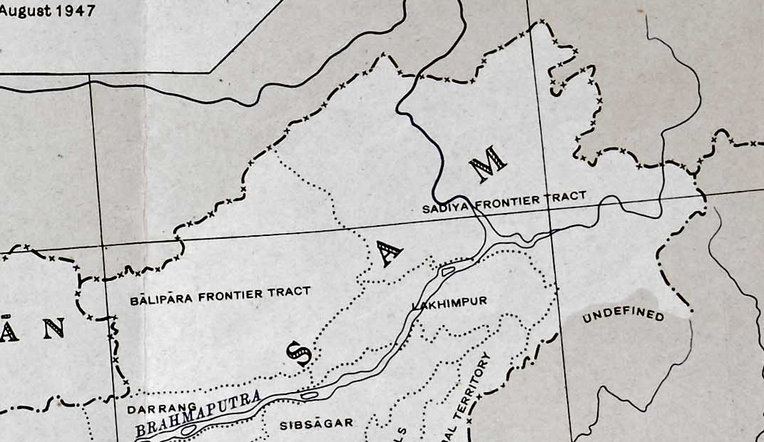
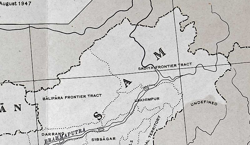
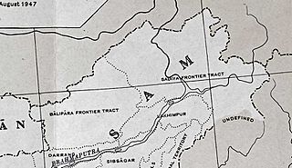
Image: North-East Frontier in 1947 Political Map of India
Size of this preview: 800 × 463 pixels. Other resolutions: 320 × 185 pixels | 1,071 × 620 pixels.
Original image (1,071 × 620 pixels, file size: 211 KB, MIME type: image/jpeg)
Description: The w:North-East Frontier Agency of India, showing the border with China along the w:McMahon Line
Title: North-East Frontier in 1947 Political Map of India
Credit: Extracts from larger images on commons
Author: Survey of India
Usage Terms: Public domain
License: Public domain
Attribution Required?: No
Image usage
The following page links to this image:

All content from Kiddle encyclopedia articles (including the article images and facts) can be freely used under Attribution-ShareAlike license, unless stated otherwise.