
Image: Northern England location map
Size of this preview: 630 × 600 pixels. Other resolutions: 252 × 240 pixels | 1,413 × 1,345 pixels.
Original image (1,413 × 1,345 pixels, file size: 132 KB, MIME type: image/png)
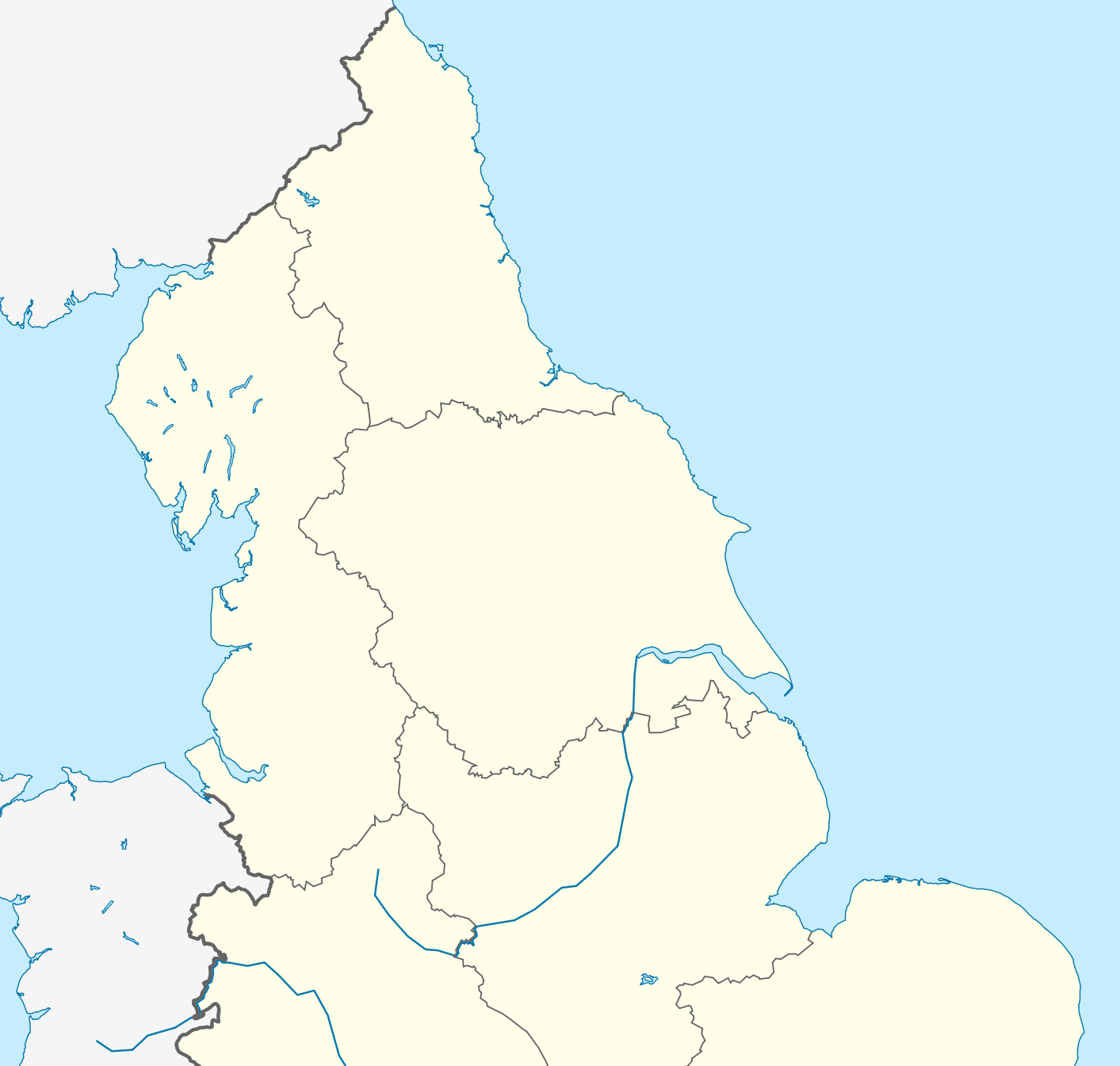
Description: Location map of Northern England
Title: Northern England location map
Credit: England_location_map.svg
Author: England_location_map.svg: *United_Kingdom_location_map.svg: NordNordWest England_Regions_-_Blank.svg: Ch1902 Northern_Ireland_location_map.svg: NordNordWest Europe_laea_location_map.svg: Alexrk2 derivative work: Spischot (talk) derivative work: Delusion23 (talk)
Usage Terms: Creative Commons Attribution-Share Alike 3.0
License: CC BY-SA 3.0
License Link: https://creativecommons.org/licenses/by-sa/3.0
Attribution Required?: Yes
Image usage
The following 3 pages link to this image:

All content from Kiddle encyclopedia articles (including the article images and facts) can be freely used under Attribution-ShareAlike license, unless stated otherwise.