
Image: Numbered map of Adjuntas wards
No higher resolution available.
Numbered_map_of_Adjuntas_wards.png (545 × 484 pixels, file size: 8 KB, MIME type: image/png)
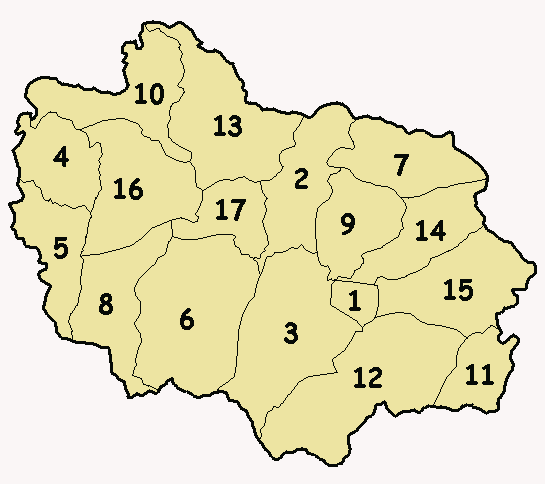
Description: Numbered wards map (alphabetical order) of the municipality-island of Adjuntas, Puerto Rico.
Title: Numbered map of Adjuntas wards
Credit: own work (based on http://areciboweb.50megs.com)
Author: Alessandro Cai (OliverZena)
Permission: I, the copyright holder of this work, release this work into the public domain. This applies worldwide. In some countries this may not be legally possible; if so: I grant anyone the right to use this work for any purpose, without any conditions, unless such conditions are required by law.
Usage Terms: Public domain
License: Public domain
Attribution Required?: No
Image usage
The following page links to this image:

All content from Kiddle encyclopedia articles (including the article images and facts) can be freely used under Attribution-ShareAlike license, unless stated otherwise.