
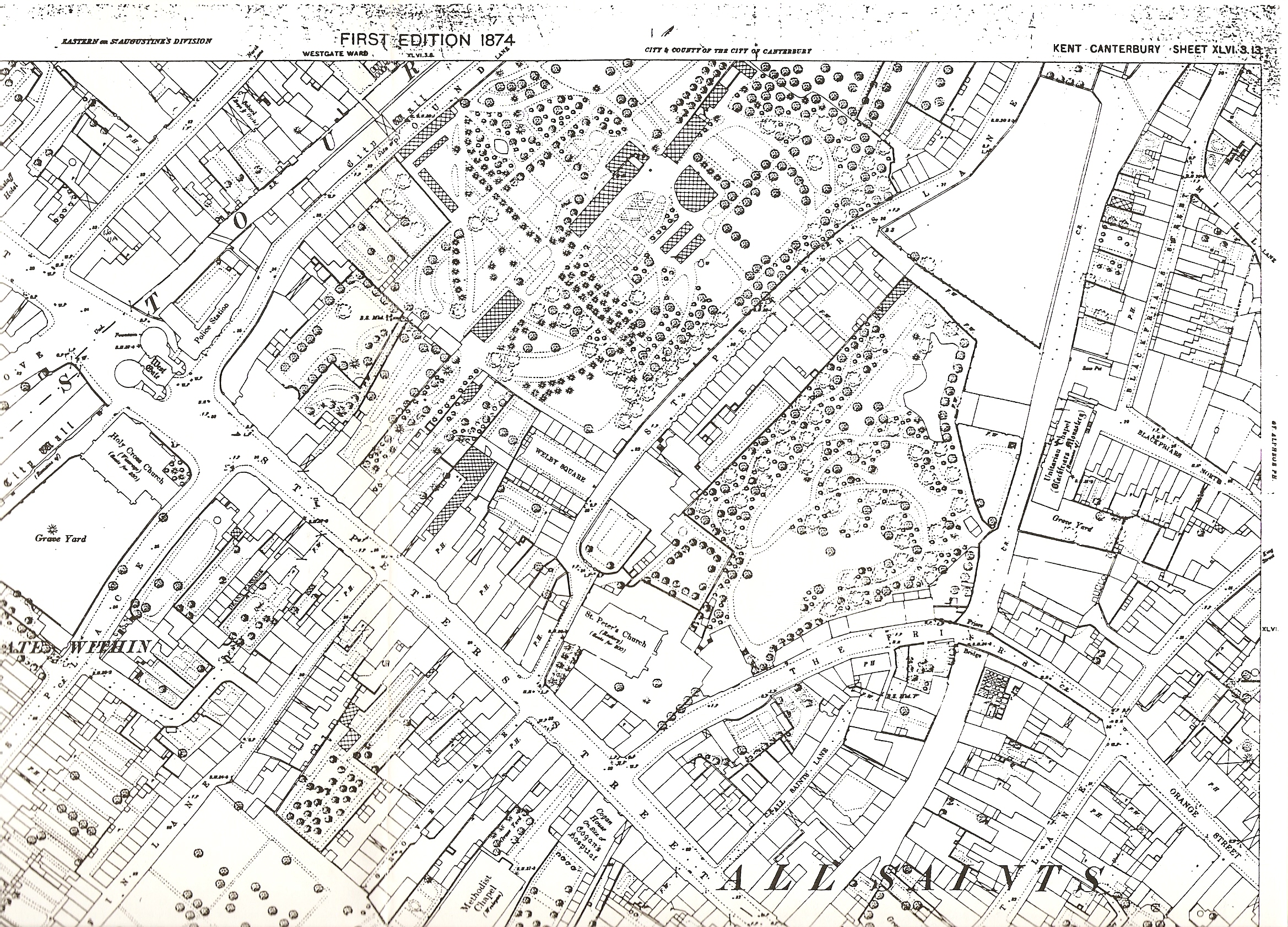
Image: OS map of Canterbury 1874
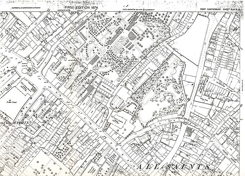
Size of this preview: 800 × 576 pixels. Other resolutions: 320 × 230 pixels | 2,338 × 1,682 pixels.
Original image (2,338 × 1,682 pixels, file size: 2.78 MB, MIME type: image/jpeg)
Description: Part of OS map of part of Canterbury, Kent, England, dated 1874
Title: OS map of Canterbury 1874
Credit: Scan of original map
Author: Ordnance Survey
Permission: copyright expired
Usage Terms: Public domain
License: Public domain
Attribution Required?: No
Image usage
The following page links to this image:

All content from Kiddle encyclopedia articles (including the article images and facts) can be freely used under Attribution-ShareAlike license, unless stated otherwise.