
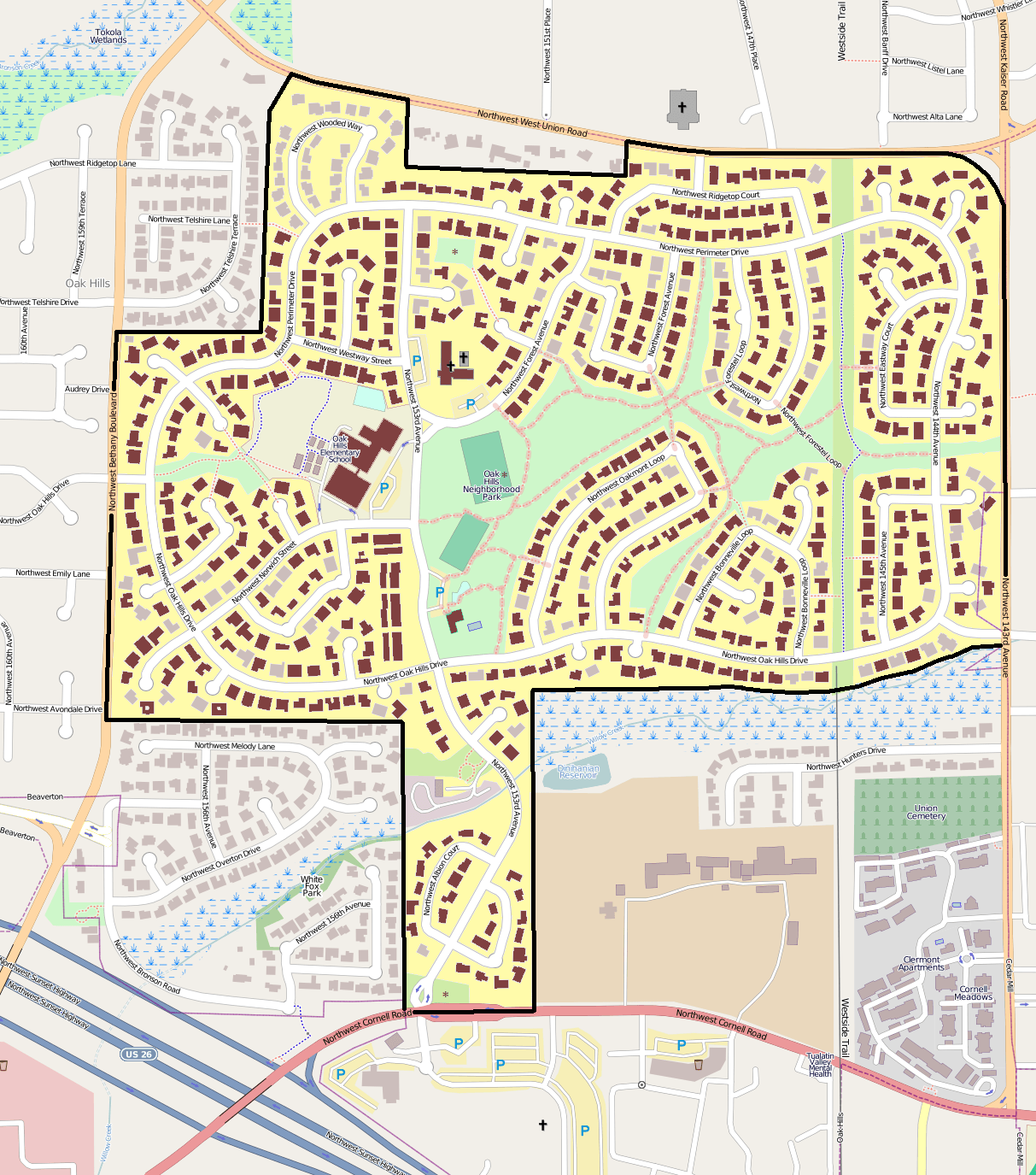
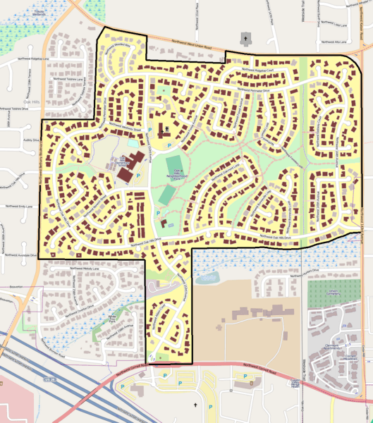
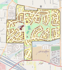
Image: Oak Hills HD boundary map
Description: Map showing the boundaries of the Oak Hills Historic District in Beaverton, Oregon, United States. The historic district is listed on the US National Register of Historic Places. Boundary data is derived from the historic district's National Register nomination form. Black boundary/yellow area: Oak Hills Historic District boundaries. Brown shading: Buildings listed as contributing resources in the historic district. (Note: The nomination document is unclear whether the waterworks building at 2085 NW 153rd Avenue is or is not designated as a contributing resource. On this map, it is shown as noncontributing.) Brown asterisks: Contributing resources other than buildings.
Title: Oak Hills HD boundary map
Credit: Exported screenshot from OpenStreetMap, with district boundaries and shading drawn by uploader.
Author: Base map: OpenStreetMap contributors District boundaries/shading: Ian Poellet (User:Ipoellet)
Permission: Base map: © OpenStreetMap contributors. Current license information available at http://www.openstreetmap.org/copyright.
Usage Terms: Creative Commons Attribution-Share Alike 2.0
License: CC BY-SA 2.0
License Link: http://creativecommons.org/licenses/by-sa/2.0
Attribution Required?: Yes
Image usage
The following page links to this image:
