
Image: Oceania laea location map

Size of this PNG preview of this SVG file: 699 × 600 pixels. Other resolution: 280 × 240 pixels.
Original image (SVG file, nominally 1,181 × 1,013 pixels, file size: 1.55 MB)
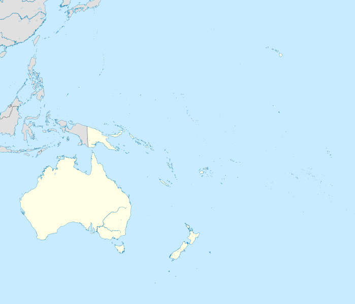
Description: Location map of Oceania. Projection: Lambert azimuthal equal-area projection. Area of interest: N: 35.0° N S: -55.0° N W: 110.0° E E: 230.0° E (This is -130° E) Projection center: NS: -10.0° N WE: 170.0° E GMT projection: -JA170/-5/20c GMT region: -R79.58168799459713/-44.42200097096855/-120.83787447194456/33.90289238708686r GMT region for grdcut: -R80.0/-63.0/260.0/39.0r Made with Natural Earth. Free vector and raster map data @ naturalearthdata.com.
Title: Oceania laea location map
Credit: Own work
Author: Uwe Dedering
Usage Terms: Creative Commons Attribution-Share Alike 3.0
License: CC BY-SA 3.0
License Link: https://creativecommons.org/licenses/by-sa/3.0
Attribution Required?: Yes
Image usage
The following 15 pages link to this image:

All content from Kiddle encyclopedia articles (including the article images and facts) can be freely used under Attribution-ShareAlike license, unless stated otherwise.