
Image: Ontario 1718
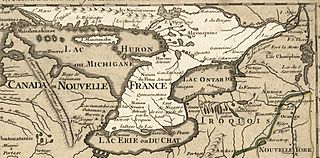
Size of this preview: 800 × 395 pixels. Other resolutions: 320 × 158 pixels | 1,201 × 593 pixels.
Original image (1,201 × 593 pixels, file size: 449 KB, MIME type: image/jpeg)
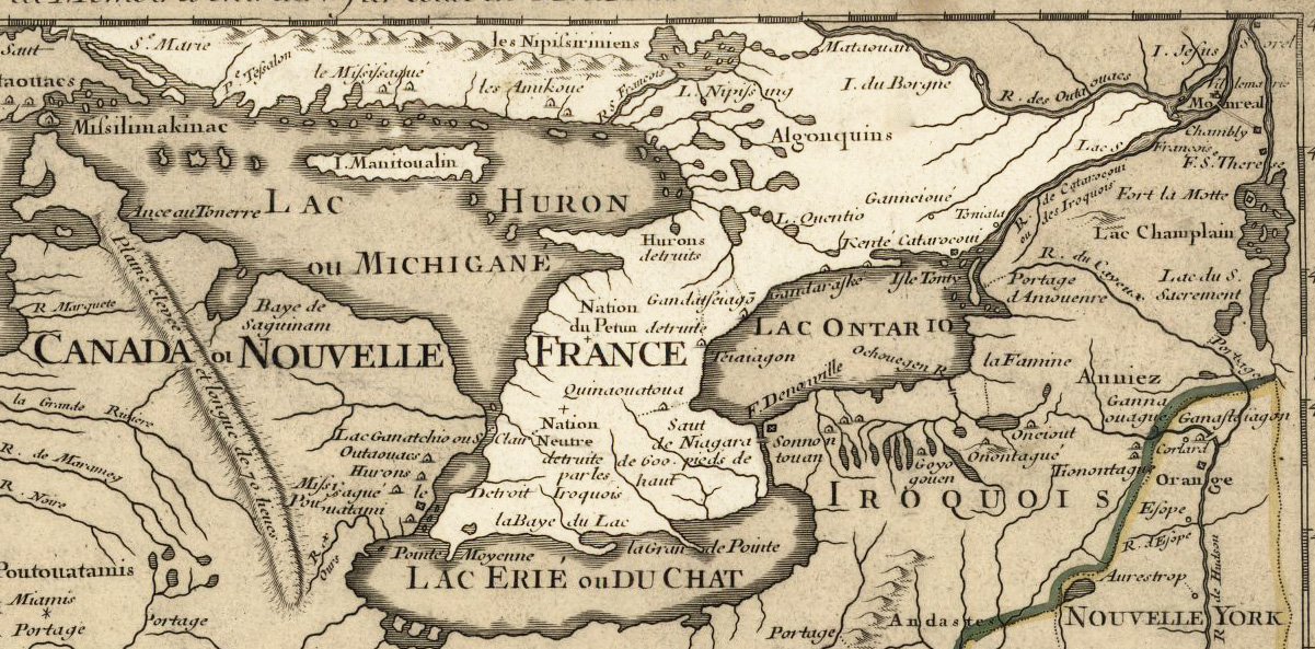
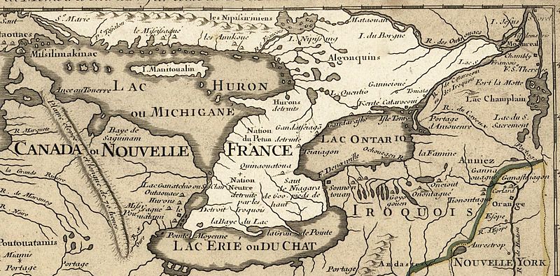
Description: Ontario 1718, approximate modern province area highlighted, from Carte de la Louisiane et du cours du Mississipi by Guillaume de L'Isle. Licensing My contributions cleaning and highlighting are donated to Public Domain. Bill Whittaker (talk) 19:32, 28 July 2009 (UTC) The Library of Congress scan is covered under: The original 1718 work is covered by:
Title: Ontario 1718
Credit: U.S. Library of Congress Public Domain Site: http://hdl.loc.gov/loc.gmd/g3700.ct000666
Author: Guillaume Delisle
Permission: US Govt Public Domain, also author +100 years
Usage Terms: Public domain
License: Public domain
Attribution Required?: No
Image usage
The following 3 pages link to this image:

All content from Kiddle encyclopedia articles (including the article images and facts) can be freely used under Attribution-ShareAlike license, unless stated otherwise.