
Image: Ontario Métis Community Councils map
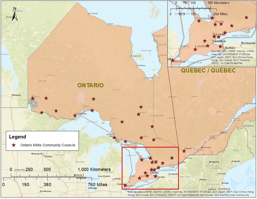
Description: This is a map I created of all the Métis community councils managed by the Métis Nation of Ontario in the province of Ontario in Canada. The Métis Nation of Ontario (MNO) represents all people who claim Métis status and are accepted by the MNO according to their citizenship rules. The point shapefile of the Métis community councils I created in Excel with GPS coordinates from Google maps, the Ontario and Quebec provincial boundaries shapefile are from Statistics Canada, and the basemap is from ArcMap. The map was created in ArcMap.
Title: Ontario Métis Community Councils map
Credit: Own work
Author: Aheath096
Usage Terms: Creative Commons Attribution-Share Alike 4.0
License: CC BY-SA 4.0
License Link: https://creativecommons.org/licenses/by-sa/4.0
Attribution Required?: Yes
Image usage
The following page links to this image:
