
Image: Pakistan tehsils

Size of this PNG preview of this SVG file: 512 × 279 pixels. Other resolution: 320 × 174 pixels.
Original image (SVG file, nominally 512 × 279 pixels, file size: 940 KB)
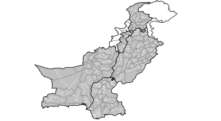
Description: Map of the tehsils of Pakistan. Map includes the disputed areas. Created by Rarelibra 20:47, 31 October 2007 (UTC) for public domain use, using MapInfo Professional v8.5 and various mapping resources.
Title: Pakistan tehsils
Credit: No machine-readable source provided. Own work assumed (based on copyright claims).
Author: No machine-readable author provided. Rarelibra assumed (based on copyright claims).
Usage Terms: Public domain
License: Public domain
Attribution Required?: No
Image usage
The following page links to this image:

All content from Kiddle encyclopedia articles (including the article images and facts) can be freely used under Attribution-ShareAlike license, unless stated otherwise.