
Image: Panama relief location map
Size of this preview: 800 × 403 pixels. Other resolutions: 320 × 161 pixels | 2,187 × 1,101 pixels.
Original image (2,187 × 1,101 pixels, file size: 899 KB, MIME type: image/jpeg)
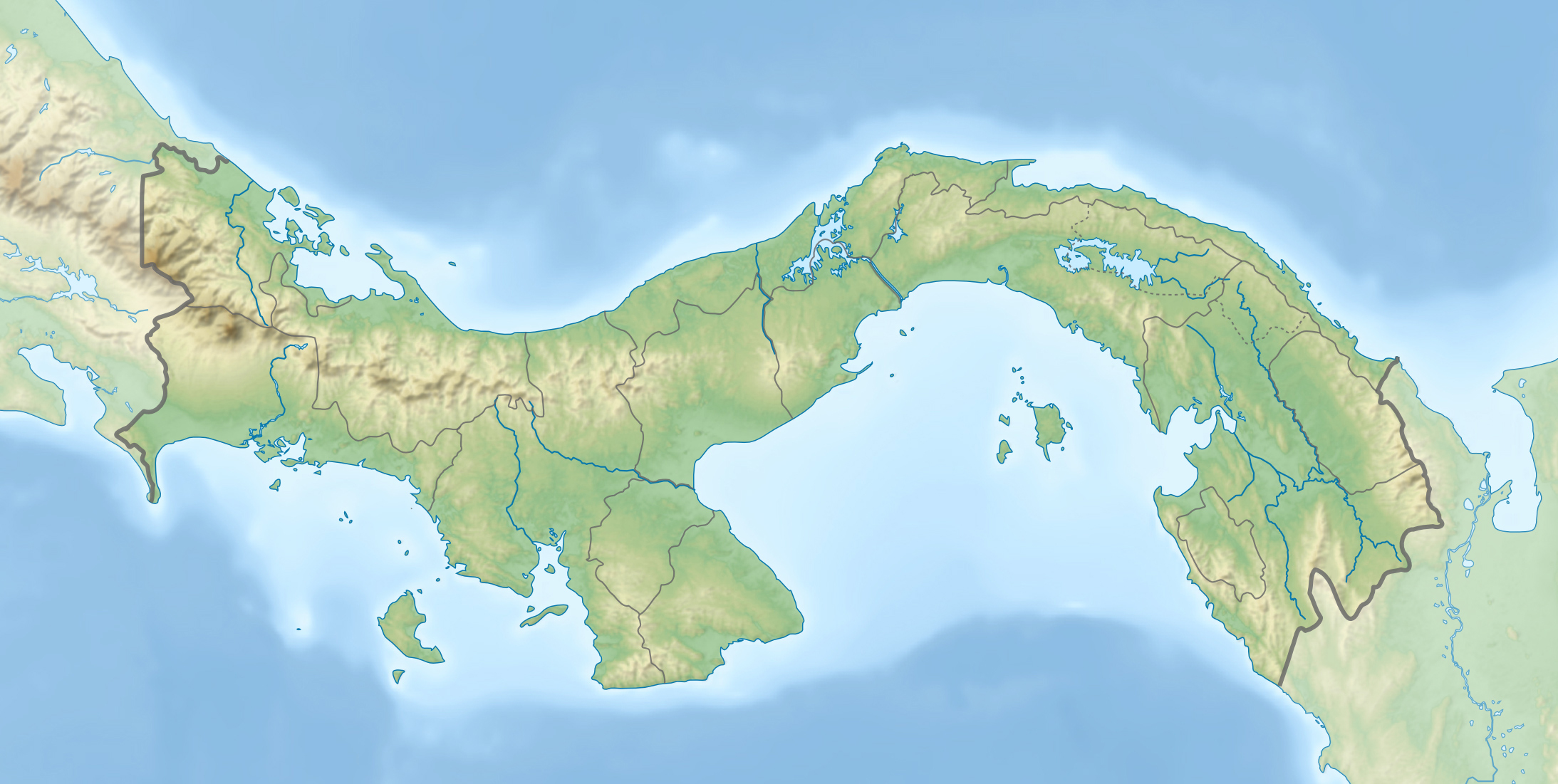
Description: Physical location map of Panama Equirectangular projection. Geographic limits of the map: N: 10.28° N S: 6.79° N W: 83.56° W O: 76.64° W
Title: Panama relief location map
Credit: Own work Bathymetry : NGDC ETOPO2v2 (public domain) ; Topography : NASA Shuttle Radar Topography Mission (SRTM30 v.2) (public domain) ; Shoreline and additional data : VMap-0 (public domain).
Author: Alexrk2
Usage Terms: Creative Commons Attribution-Share Alike 3.0
License: CC BY-SA 3.0
License Link: https://creativecommons.org/licenses/by-sa/3.0
Attribution Required?: Yes
Image usage
The following 36 pages link to this image:
- Agua de Salud
- Alto de Nique
- Bocas del Toro Archipelago
- Cerro Echandi
- Cerro Mali treefrog
- Cerro Picacho (Chiriquí)
- Cerro Tacarcuna
- Chagres River
- Changuinola River
- Chepo River
- Chucunaque River
- Colón Island
- Dikeri
- Diko, Panama
- El Valle (volcano)
- Gatun Lake
- La Villa River
- La Yeguada
- Nibra, Panama
- Pacora River
- Panama City
- Picacho Mountain
- Quebrada de Loro
- San Pablo River (Panama)
- Santa Ana, Panama City
- Santa María River (Panama)
- Serranía de Majé
- Serranía del Darién
- Sixaola River
- Tabasara River
- Tobobé
- Tuira River
- Tuwai
- Umaní
- Valle Bonito
- Volcán Barú

All content from Kiddle encyclopedia articles (including the article images and facts) can be freely used under Attribution-ShareAlike license, unless stated otherwise.