
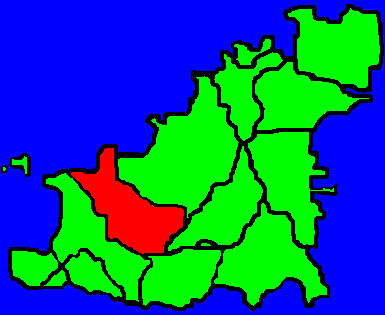
Image: Parishes in Guernsey (St Saviours shaded)
No higher resolution available.
Parishes_in_Guernsey_(St_Saviours_shaded).gif (385 × 315 pixels, file size: 5 KB, MIME type: image/gif)
Description: This map shows the position of St Saviours in relation to the rest of Guernsey. I created this myself based on Image:Parishes in Guernsey (The Forest shaded).GIF
Title: Parishes in Guernsey (St Saviours shaded)
Credit: Transferred from en.wikipedia to Commons.
Author: Sgfoote at English Wikipedia; Tra at en.wikipedia
Usage Terms: Public domain
License: Public domain
Attribution Required?: No
Image usage
The following page links to this image:

All content from Kiddle encyclopedia articles (including the article images and facts) can be freely used under Attribution-ShareAlike license, unless stated otherwise.
.gif)