
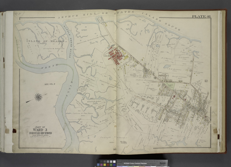
Image: Part of Ward 3. (Map bound by Little Fresh Kills, Richmond Turnpike, Burying Hill Road, Cannon Ave (Lexington Ave), Burke Ave, Linoleum Ave (Penn Ave), Decker Ave, Watson Ave, Pearson St NYPL1646261f
Description: Part of Ward 3. [Map bound by Little Fresh Kills, Richmond Turnpike, Burying Hill Road, Cannon Ave (Lexington Ave), Burke Ave, Linoleum Ave (Penn Ave), Decker Ave, Watson Ave, Pearson St (Liberty Ave), Wild Ave, Fort Creek, Fresh Kills]; Atlases of New York city. / Atlas of the city of New York, borough of Richmond, Staten Island. From actual surveys and original plans, by George W. and Walter S. Bromley.
Title: Part of Ward 3. (Map bound by Little Fresh Kills, Richmond Turnpike, Burying Hill Road, Cannon Ave (Lexington Ave), Burke Ave, Linoleum Ave (Penn Ave), Decker Ave, Watson Ave, Pearson St NYPL1646261
Credit: New York Public Library
Author: George Washington -- Cartographer Bromley
Permission: From The Lionel Pincus and Princess Firyal Map Division. http://maps.nypl.org This file is made available under the Creative Commons CC0 1.0 Universal Public Domain Dedication. The person who associated a work with this deed has dedicated the work to the public domain by waiving all of his or her rights to the work worldwide under copyright law, including all related and neighboring rights, to the extent allowed by law. You can copy, modify, distribute and perform the work, even for commercial purposes, all without asking permission. http://creativecommons.org/publicdomain/zero/1.0/deed.enCC0Creative Commons Zero, Public Domain Dedicationfalsefalse
Usage Terms: Creative Commons Zero, Public Domain Dedication
License: CC0
License Link: http://creativecommons.org/publicdomain/zero/1.0/deed.en
Attribution Required?: No
Image usage
The following page links to this image:
