
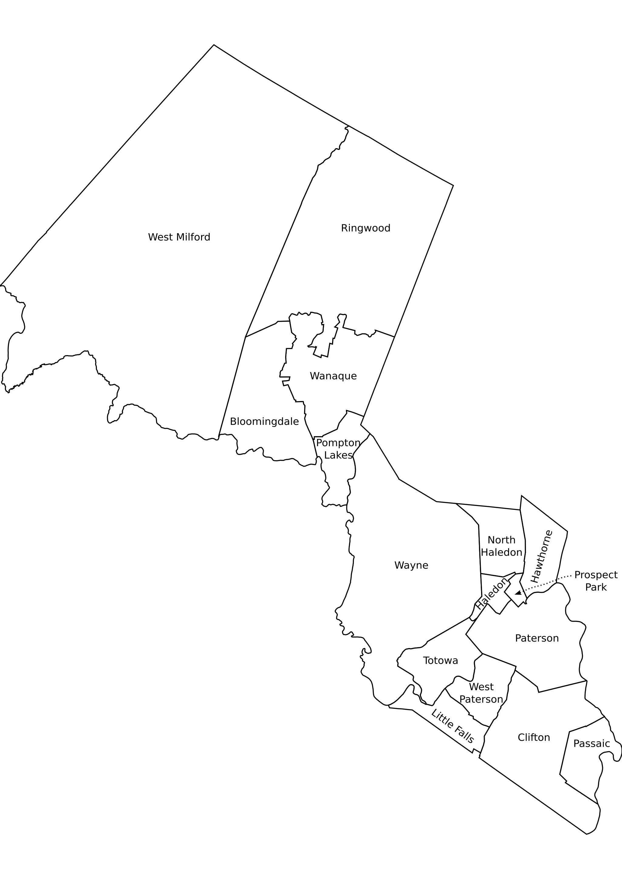
Image: Passaic County, NJ municipalities labeled
Size of this preview: 424 × 600 pixels. Other resolutions: 170 × 240 pixels | 2,048 × 2,896 pixels.
Original image (2,048 × 2,896 pixels, file size: 330 KB, MIME type: image/png)
Description: Passaic County, New Jersey outline map of municipalities, labeled. Sources: NJDEP publishes Arcview shape format outline maps of counties and municpalities. Believed ((PD-ineligible)). [1] Converted to SVG, edited in inkscape Labeled according to [2] SVG source: Image:Passaic County, NJ municipalities labeled.svg
Title: Passaic County, NJ municipalities labeled
Credit: No machine-readable source provided. Own work assumed (based on copyright claims).
Author: No machine-readable author provided. ChrisRuvolo assumed (based on copyright claims).
Usage Terms: Public domain
License: Public domain
Attribution Required?: No
Image usage
The following page links to this image:

All content from Kiddle encyclopedia articles (including the article images and facts) can be freely used under Attribution-ShareAlike license, unless stated otherwise.