
Image: Pioneer Valley South From Mt. Sugarloaf
Size of this preview: 800 × 600 pixels. Other resolutions: 320 × 240 pixels | 2,272 × 1,704 pixels.
Original image (2,272 × 1,704 pixels, file size: 808 KB, MIME type: image/jpeg)
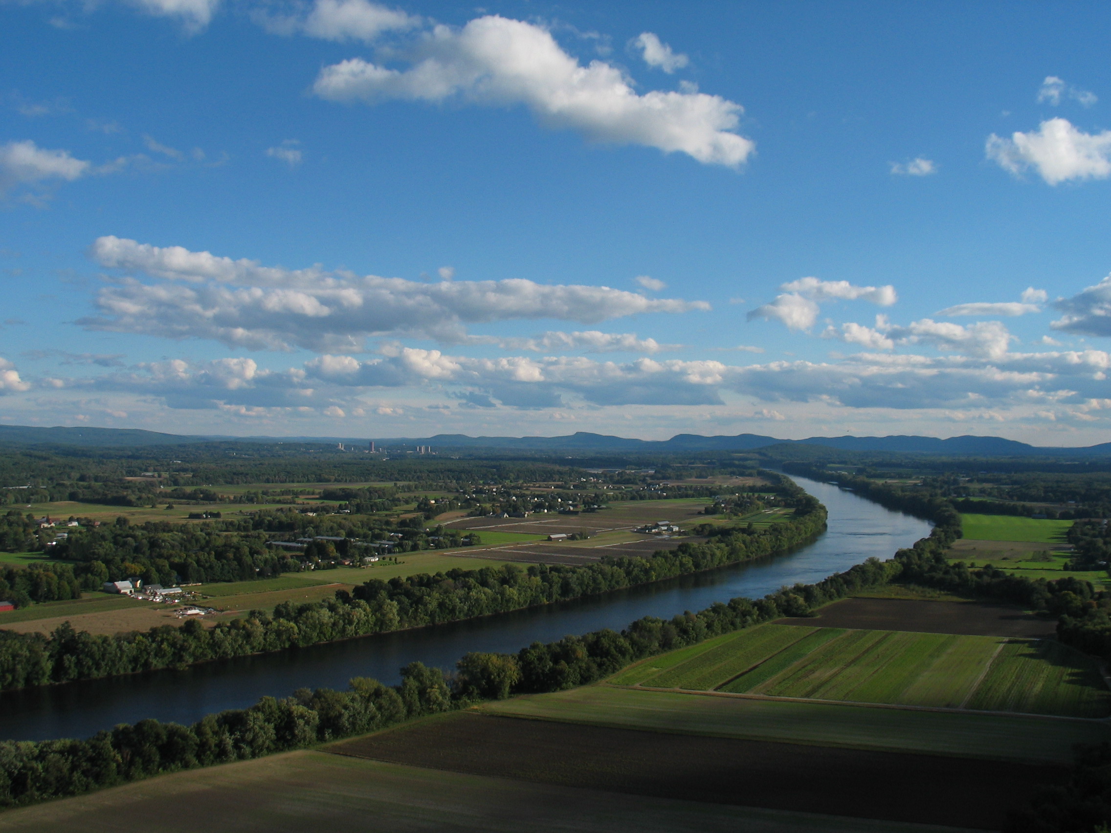
Description: The Connecticut River and Pioneer Valley of Massachusetts. Looking south from Mt. Sugarloaf in Deerfield, toward the towns of Sunderland, Amherst and Whately. The buildings of the University of Massachusetts Amherst can be seen in the distance to the left, and farther off, the Holyoke range of mountains.
Title: Pioneer Valley South From Mt. Sugarloaf
Credit: Transferred from en.wikipedia to Commons.
Author: The original uploader was BenFrantzDale at English Wikipedia
Usage Terms: Creative Commons Attribution-Share Alike 3.0
License: CC-BY-SA-3.0
License Link: http://creativecommons.org/licenses/by-sa/3.0/
Attribution Required?: Yes
Image usage
The following 4 pages link to this image:

All content from Kiddle encyclopedia articles (including the article images and facts) can be freely used under Attribution-ShareAlike license, unless stated otherwise.