
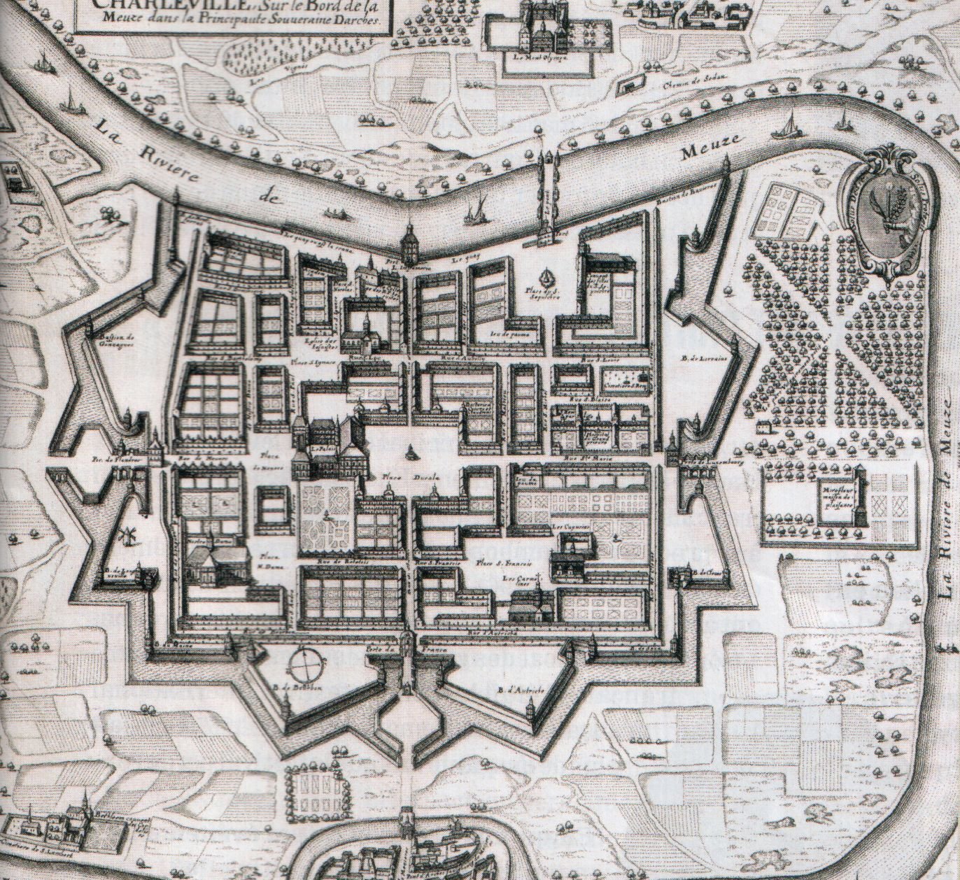
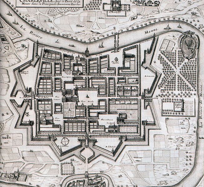
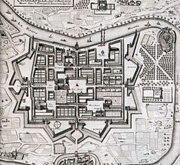
Image: Plan Charleville Meziere Edme Moreau 1625
Size of this preview: 654 × 600 pixels. Other resolutions: 262 × 240 pixels | 1,372 × 1,258 pixels.
Original image (1,372 × 1,258 pixels, file size: 591 KB, MIME type: image/jpeg)
Description: Map of Charleville by Edme Moreau about 1625.
Title: Plan Charleville Meziere Edme Moreau 1625
Credit: Historia n°767 - Novembre 2010 - page 67
Author: Edme Moreau
Usage Terms: Public domain
License: Public domain
Attribution Required?: No
Image usage
The following 2 pages link to this image:

All content from Kiddle encyclopedia articles (including the article images and facts) can be freely used under Attribution-ShareAlike license, unless stated otherwise.