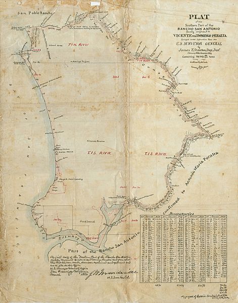
Image: Plat of Northern Part of Rancho San Antonio

Description: Plat (map) of the Northern Part of the Rancho San Antonio in California, in present day Alameda County, Northern California. Finally confirmed by U.S. to Vicente and Domingo Peralta [cartographic material], containing 19,143 86/100 acres, c. February 1858 - December 1859.
Title: Plat of Northern Part of Rancho San Antonio
Credit: http://content.cdlib.org/ark:/13030/kt8489q9hh/?order=3
Author: surveyed under instructions from the U.S. Surveyor General by James T. Stratton, Dep. Sur[veyor]
Permission: This work is in the public domain in the United States because it is a work prepared by an officer or employee of the United States Government as part of that person’s official duties under the terms of Title 17, Chapter 1, Section 105 of the US Code. Note: This only applies to original works of the Federal Government and not to the work of any individual U.S. state, territory, commonwealth, county, municipality, or any other subdivision. This template also does not apply to postage stamp designs published by the United States Postal Service since 1978. (See § 313.6(C)(1) of Compendium of U.S. Copyright Office Practices). It also does not apply to certain US coins; see The US Mint Terms of Use.
Usage Terms: Public domain
License: Public domain
Attribution Required?: No
Image usage
The following page links to this image:

