
Image: Poland adm location map

Size of this PNG preview of this SVG file: 617 × 600 pixels. Other resolution: 247 × 240 pixels.
Original image (SVG file, nominally 861 × 837 pixels, file size: 340 KB)
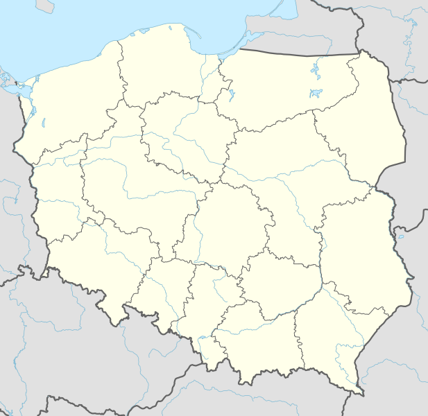
Description: Location map of Poland
Title: Poland adm location map
Credit: Own work using: United States National Imagery and Mapping Agency data World Data Base II data
Author: NordNordWest
Usage Terms: Creative Commons Attribution-Share Alike 3.0 de
License: CC BY-SA 3.0 de
License Link: https://creativecommons.org/licenses/by-sa/3.0/de/deed.en
Attribution Required?: Yes
Image usage
The following 49 pages link to this image:
- Białystok
- Brok
- Czechowice-Dziedzice
- Dobra, Bolesławiec County
- Dubielno, Chełmno County
- Dziecinów (Otwock County)
- Frygnowo
- Grunwald
- Jastrzębie-Zdrój
- Jaworzno
- Konin
- Kotowice, Masovian Voivodeship
- Końskowola
- Kurów
- Kurów, West Pomeranian Voivodeship
- Mysłowice
- Okunino
- Olsztynek
- Papowo Biskupie
- Piotrowice, Otwock County
- Piotrowice (Otwock County)
- Poznań
- Pruchnik
- Przesmyki
- Płock
- Racibórz
- Radymno
- Ruda Śląska
- Rudno, Lesser Poland Voivodeship
- Rybnik
- Sierpc
- Solidarity Szczecin–Goleniów Airport
- Stalag Luft III
- Stobno
- Stębark
- Suwałki
- Słopnice
- Słubice
- Słupsk
- Tenczynek
- Trojany, Masovian Voivodeship
- Trojany (Masovian Voivodeship)
- Włocławek
- Zdzieszowice
- Zwonowice
- Łask
- Łęczna
- Świnoujście
- Żywiec

All content from Kiddle encyclopedia articles (including the article images and facts) can be freely used under Attribution-ShareAlike license, unless stated otherwise.