
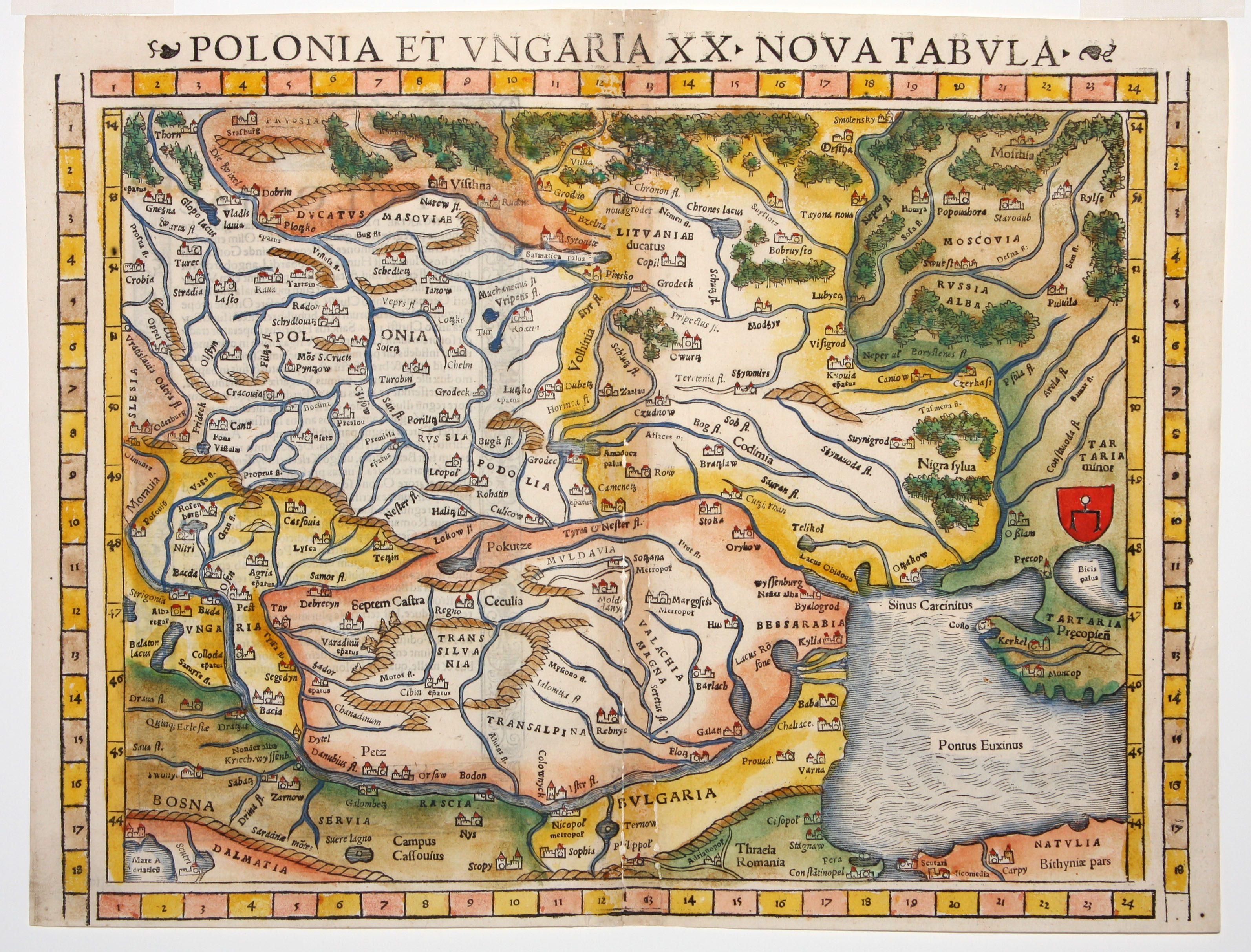
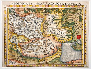
Image: Polonia Et Ungaria XX Nova Tabula
Size of this preview: 788 × 600 pixels. Other resolutions: 316 × 240 pixels | 3,186 × 2,424 pixels.
Original image (3,186 × 2,424 pixels, file size: 1.56 MB, MIME type: image/jpeg)
Description: Polonia Et Ungaria XX Nova Tabula- Munster’s modern map of Poland and Hungary, from the rare 1552 Geographia edition, the only one to feature coordinate bars provided at top and bottom.
Title: Polonia Et Ungaria XX Nova Tabula
Credit: http://www.martayanlan.com/cgi-bin/display.cgi/Maps/39/4569?
Author: Sebastian Münster, Basel
Usage Terms: Public domain
License: Public domain
Attribution Required?: No
Image usage
The following page links to this image:

All content from Kiddle encyclopedia articles (including the article images and facts) can be freely used under Attribution-ShareAlike license, unless stated otherwise.