
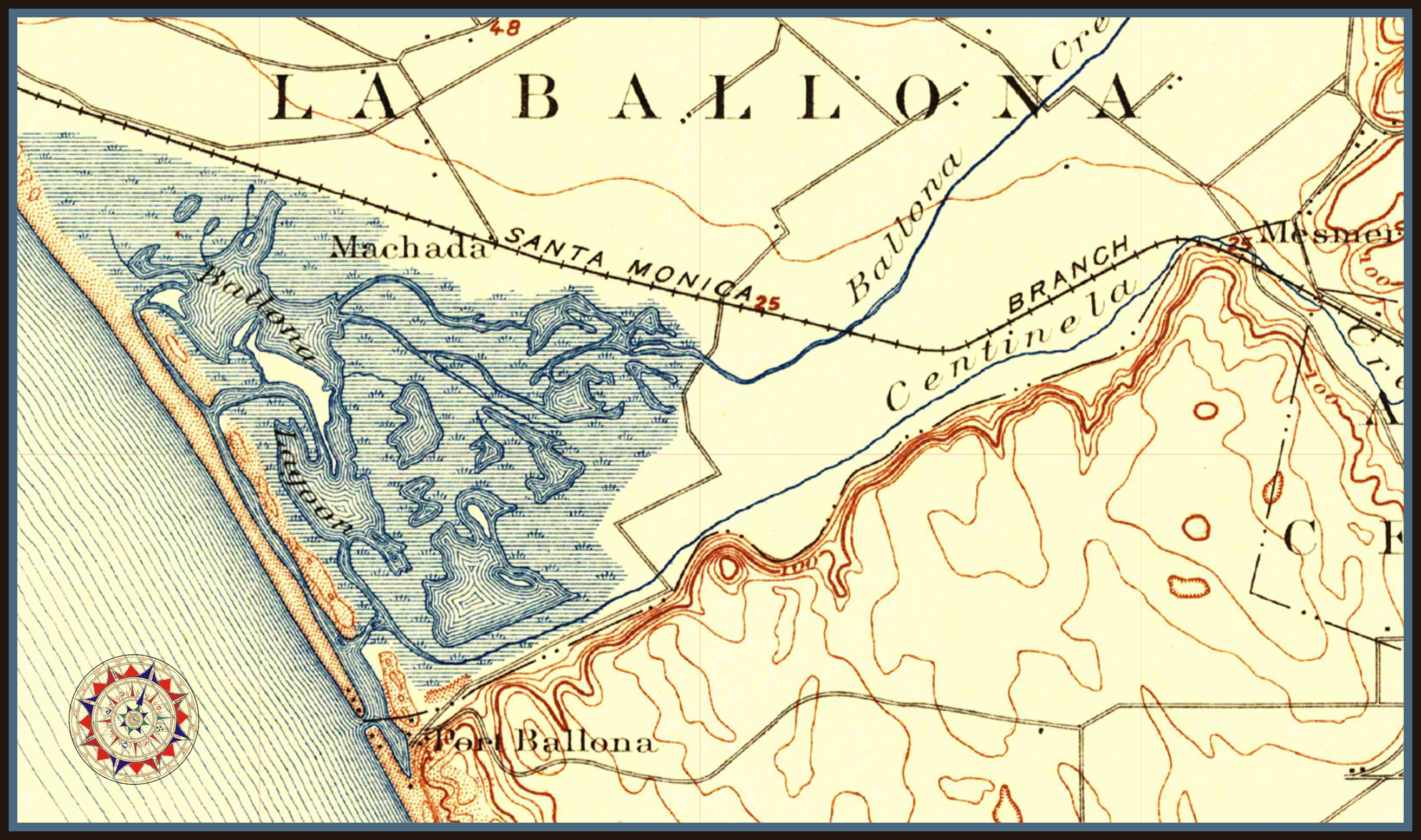
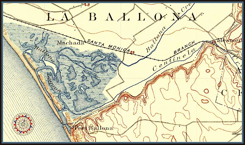
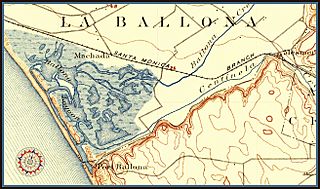
Image: Port Ballona, Playa del Rey CA, USGS Topo Map
Size of this preview: 800 × 473 pixels. Other resolutions: 320 × 189 pixels | 2,624 × 1,552 pixels.
Original image (2,624 × 1,552 pixels, file size: 2.06 MB, MIME type: image/jpeg)
Description: Image cropped from USGS Topo Map showing location of Port Ballona relative to the La Ballona Rancho in the year 1896. This area is now the location of Playa del Rey, Marina del Rey, and the Ballona Wetlands. https://en.wikipedia.org/wiki/Playa_del_Rey,_Los_Angeles
Title: Port Ballona, Playa del Rey CA, USGS Topo Map
Credit: Downloaded the public domain USGS Topo map in PDF form, converted to PNG, cropped, coded in JPEG, uploaded.
Author: MoyeWicks
Usage Terms: Creative Commons Zero, Public Domain Dedication
License: CC0
License Link: creativecommons.org/publicdomain/zero/1.0/deed.en
Attribution Required?: No
Image usage
The following 2 pages link to this image:

All content from Kiddle encyclopedia articles (including the article images and facts) can be freely used under Attribution-ShareAlike license, unless stated otherwise.