
Image: Pottstown Landing
Size of this preview: 800 × 600 pixels. Other resolutions: 320 × 240 pixels | 3,892 × 2,919 pixels.
Original image (3,892 × 2,919 pixels, file size: 3.93 MB, MIME type: image/jpeg)
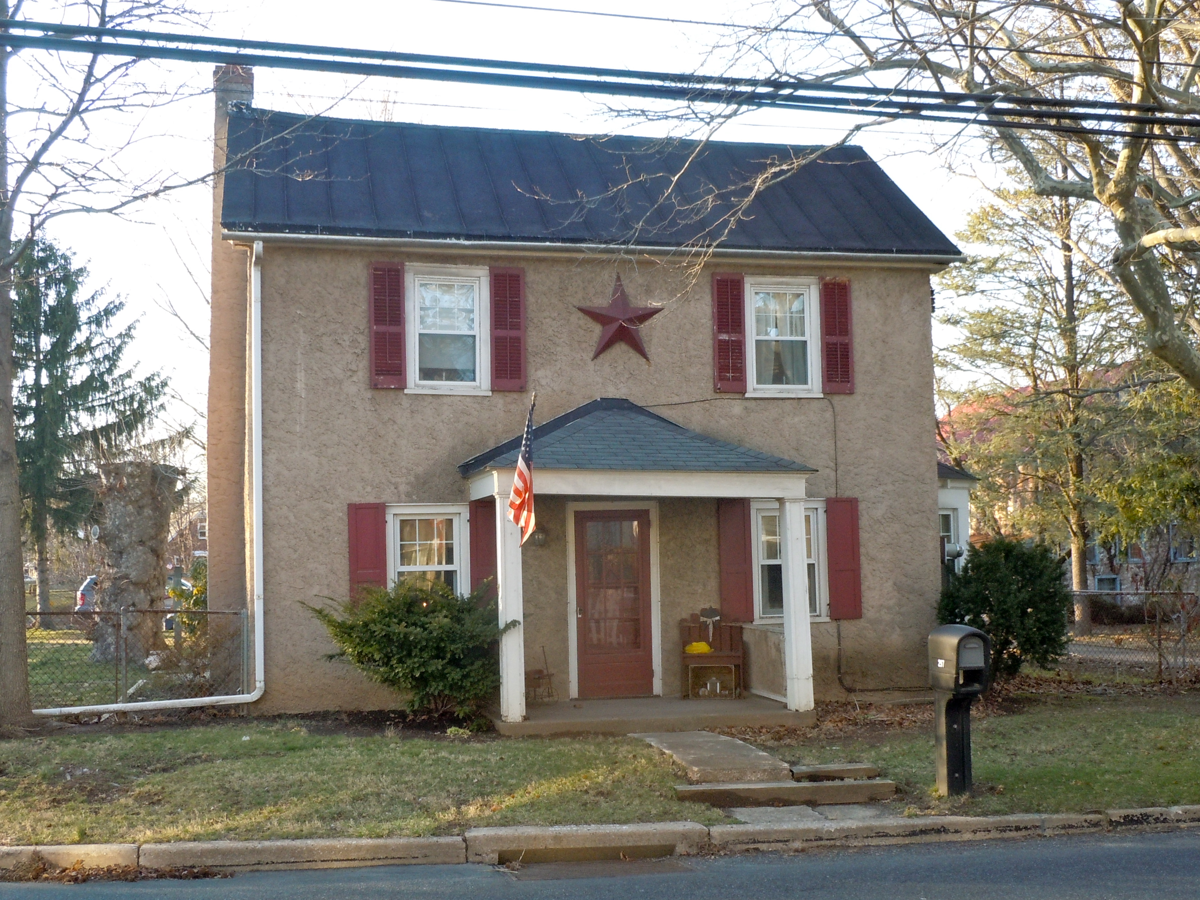
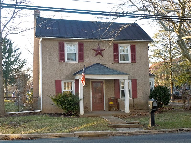
Description: Pottstown Landing Historic District on the NRHP since August 31, 2001. The HD is roughly bounded by U.S. Route 422 bypass, Whartnaby Street 633 Laurelwood Road and Reiff Street in North Coventry Township, Chester County, Pennsylvania. This is a group of about 5 houses and a barn, located across the Schuylkil River from Pottstown, Pennsylvania. Location is rather odd, bounded by the river, under the expresway, with a big shopping mall on the side.
Title: Pottstown Landing
Credit: Own work
Author: Smallbones
Usage Terms: Creative Commons Zero, Public Domain Dedication
License: CC0
License Link: http://creativecommons.org/publicdomain/zero/1.0/deed.en
Attribution Required?: No
Image usage

All content from Kiddle encyclopedia articles (including the article images and facts) can be freely used under Attribution-ShareAlike license, unless stated otherwise.