
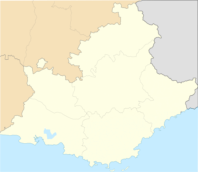
Image: Provence-Alpes-Cote d'azur region location map

Description: Administrative map of Provence-Alpes-Côte d'Azur for geo-location purpose Equirectangular projection Top: 45.16 Bottom: 42.98 Left: 4.2283 Right: 7.7189
Title: Provence-Alpes-Cote d'azur region location map
Credit: Own work, derivate work from maps of User:Poulpy, merger of five maps File:Blank Map of Alpes-de-Haute-Provence Department, France, with Communes.svg File:Blank Map of Alpes-Maritimes Department, France, with Communes.svg File:Blank Map of Bouches-du-Rhône Department, France, with Communes.svg File:Blank Map of Hautes-Alpes Department, France, with Communes.svg File:Blank Map of Var Department, France, with Communes.svg
Author: Edouard-rainaut
Usage Terms: Creative Commons Attribution-Share Alike 3.0
License: CC BY-SA 3.0
License Link: https://creativecommons.org/licenses/by-sa/3.0
Attribution Required?: Yes
Image usage
More than 100 pages link to this image. The following list shows the first 100 page links to this image only. A full list is available.
- Aiglun, Alpes-Maritimes
- Aix-en-Provence
- Allauch
- Althen-des-Paluds
- Ansouis
- Apt, Vaucluse
- Arles
- Aubignan
- Aurel, Vaucluse
- Auribeau
- Avignon
- Beaumes-de-Venise
- Beaumettes
- Beaumont-de-Pertuis
- Beaumont-du-Ventoux
- Berre-l'Étang
- Blauvac
- Bollène
- Bonnieux
- Brantes
- Buisson
- Buoux
- Bédarrides
- Bédoin
- Cabrières-d'Aigues
- Cabrières-d'Avignon
- Cadenet
- Caderousse
- Cairanne
- Camaret-sur-Aigues
- Cannes
- Caromb
- Carpentras
- Caseneuve
- Castellet
- Caumont-sur-Durance
- Cavaillon
- Ceyreste
- Cheval-Blanc
- Châteauneuf-de-Gadagne
- Châteauneuf-du-Pape
- Cornillon-Confoux
- Courthézon
- Crestet
- Crillon-le-Brave
- Cucuron
- Entraigues-sur-la-Sorgue
- Entrechaux
- Eygalières
- Faucon
- Flassan
- Fontaine-de-Vaucluse
- Forcalquier
- Fos-sur-Mer
- Gargas, Vaucluse
- Gignac, Vaucluse
- Gigondas
- Goult
- Grambois
- Grans
- Graveson
- Grillon
- Gréasque
- Jonquerettes
- Jonquières, Vaucluse
- L'Isle-sur-la-Sorgue
- La Bastide-des-Jourdans
- La Bastidonne
- Lacoste, Vaucluse
- Lafare
- Lagarde-Paréol
- Lagarde-d'Apt
- Lagnes
- Lamotte-du-Rhône
- Lapalud
- Lauris
- Le Barroux
- Le Beaucet
- Le Rove
- Le Tholonet
- Lioux
- Maillane
- Marignane
- Mas-Blanc-des-Alpilles
- Mimet
- Mouriès
- Orgon
- Paradou
- Peyrolles-en-Provence
- Port-Saint-Louis-du-Rhône
- Port-de-Bouc
- Rognes, Bouches-du-Rhône
- Roquefort-les-Pins
- Roquevaire
- Saint-Martin-de-Crau
- Saint-Savournin
- Saint-Étienne-du-Grès
- Saintes-Maries-de-la-Mer
- Sausset-les-Pins
- Sénas
