
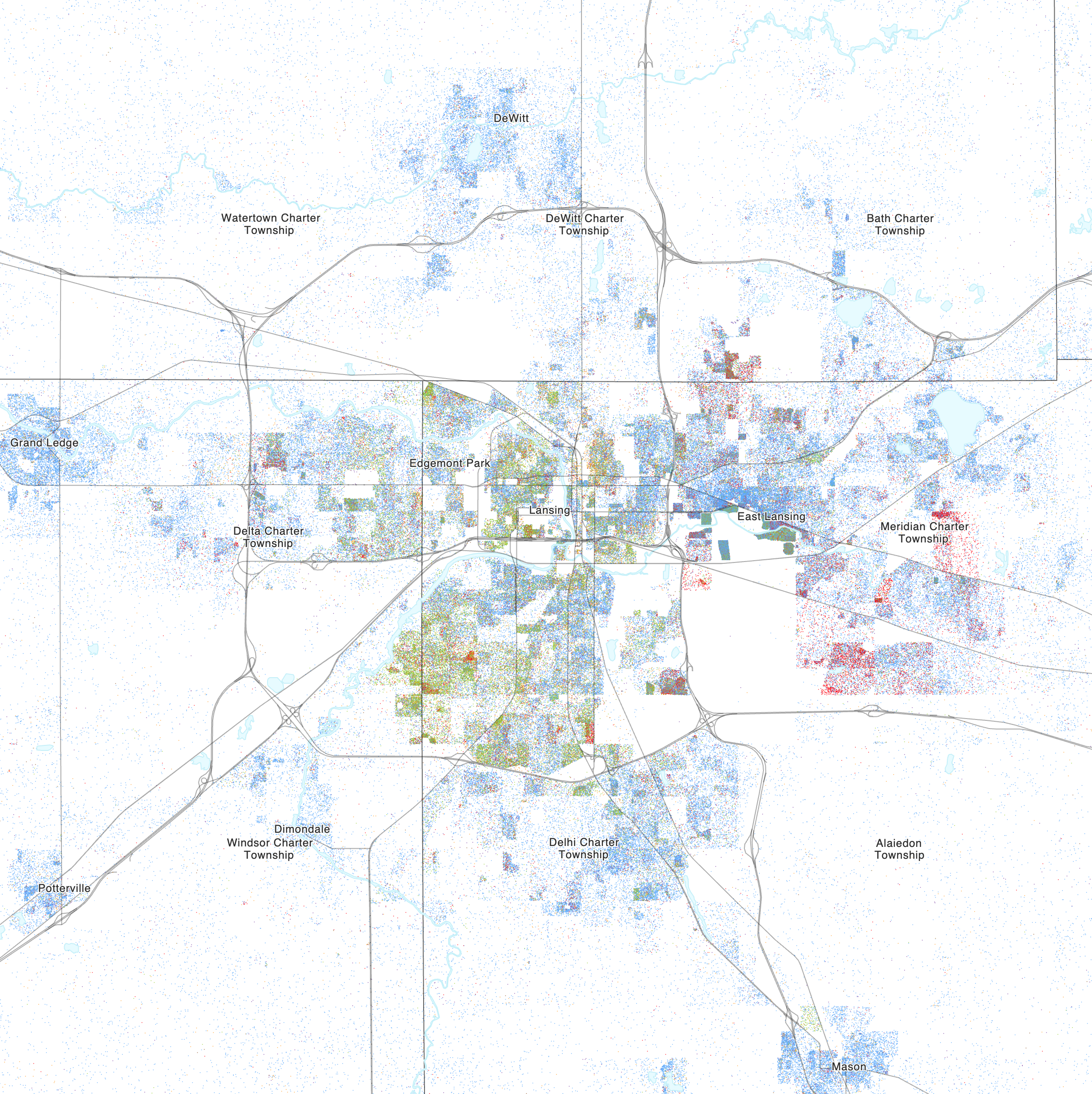
Image: Race and ethnicity 2020 Lansing, MI
Size of this preview: 599 × 600 pixels. Other resolutions: 240 × 240 pixels | 2,400 × 2,404 pixels.
Original image (2,400 × 2,404 pixels, file size: 2.08 MB, MIME type: image/png)
Description: Map of the distribution of races and ethnicities in US cities, inspired by similar maps created by Dustin Cable and others. Blue is White, Green is Black, Red is Asian, Orange is Hispanic, Purple is Multiracial, and Brown is Native American/Other. Each dot represents one person.
Data from Census 2020. Base map © OpenStreetMap, CC-BY-SA
Author: CensusDots
Usage Terms: Creative Commons Attribution-Share Alike 3.0
License: CC-BY-SA-3.0
License Link: http://creativecommons.org/licenses/by-sa/3.0/
Attribution Required?: Yes
Image usage
The following page links to this image:

All content from Kiddle encyclopedia articles (including the article images and facts) can be freely used under Attribution-ShareAlike license, unless stated otherwise.