
Image: Randolph dikes USACE Nav Bul 2 2006
Size of this preview: 800 × 457 pixels. Other resolutions: 320 × 183 pixels | 1,287 × 735 pixels.
Original image (1,287 × 735 pixels, file size: 114 KB, MIME type: image/png)
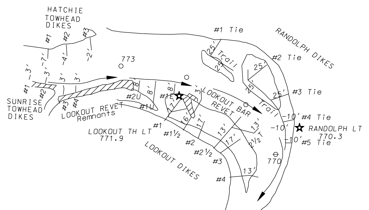
Description: Map of the navigation channel of the Mississippi River and dikes at the location of en:Randolph, Tennessee at river mile 770 as it is included in the Navigation Bulletin No. 2 of 2006 issued by the USACE, Memphis District. The map is a partial reproduction (ca. 30%) of page 26 in the map section of the bulletin.
Title: Randolph dikes USACE Nav Bul 2 2006
Credit: http://www.mvm.usace.army.mil/river/navigation_misc/Nav06_Binder211.pdf
Author: United States Army Corps of Engineers (USACE), Memphis (Tennessee) District
Usage Terms: Public domain
License: Public domain
Attribution Required?: No
Image usage
The following page links to this image:

All content from Kiddle encyclopedia articles (including the article images and facts) can be freely used under Attribution-ShareAlike license, unless stated otherwise.