
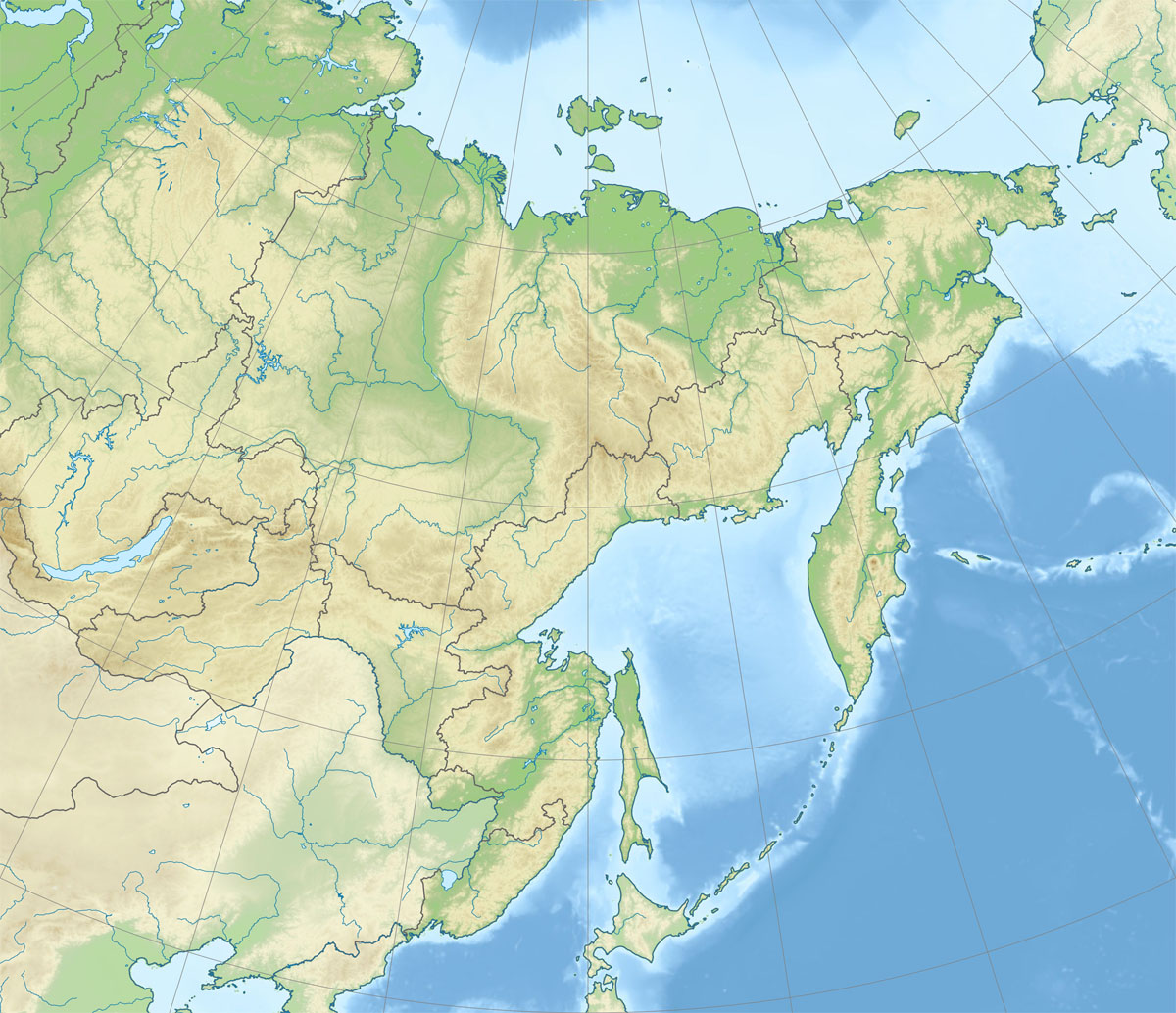
Image: Relief Map of Far Eastern Federal District
Size of this preview: 696 × 600 pixels. Other resolutions: 279 × 240 pixels | 1,200 × 1,034 pixels.
Original image (1,200 × 1,034 pixels, file size: 323 KB, MIME type: image/jpeg)
Description: Физическая карта Дальневосточного федерального округа Проекция — коническая равнопромежуточная. первая стандартная параллель — 55°00′с.ш. вторая стандартная параллель — 65°00′с.ш. средний меридиан — 140°00′в.д. Формулы расчёта координат: x = Expression error: Unrecognized punctuation character "{". y = Expression error: Unrecognized punctuation character "{".
Title: Relief Map of Far Eastern Federal District
Credit: File:Outline Map of Far Eastern Federal District.svg SRTM30 ETOPO1
Author: Виктор В
Usage Terms: Public domain
License: Public domain
Attribution Required?: No
Image usage
The following 3 pages link to this image:

All content from Kiddle encyclopedia articles (including the article images and facts) can be freely used under Attribution-ShareAlike license, unless stated otherwise.