
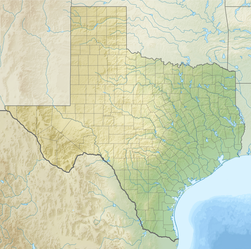
Image: Relief map of Texas
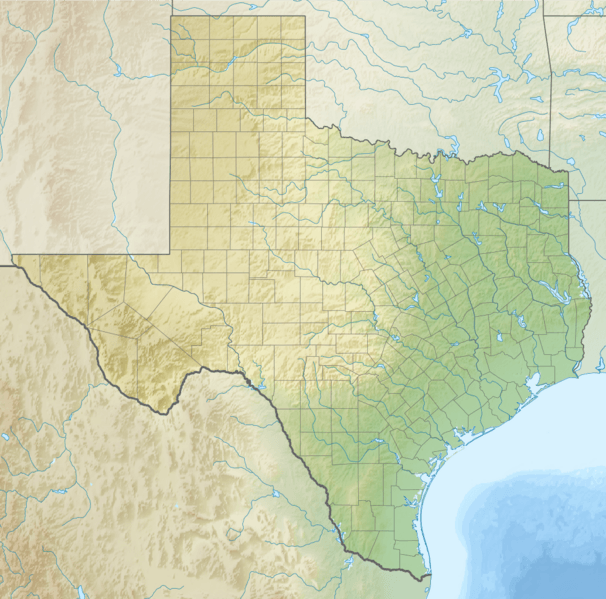
Size of this preview: 606 × 599 pixels. Other resolutions: 243 × 240 pixels | 1,000 × 989 pixels.
Original image (1,000 × 989 pixels, file size: 1.28 MB, MIME type: image/png)
Description: Relief map of Texas (USA).
Title: Relief map of Texas
Credit: ETOPO1 for relief and bathymetry using GMT package File:USA Texas location map.svg for borders, rivers, lakes, coastline Own work Created with Generic Mapping Tools (GMT) This vector image was created with Inkscape.
Author: Nzeemin
Usage Terms: Creative Commons Attribution-Share Alike 3.0
License: CC BY-SA 3.0
License Link: http://creativecommons.org/licenses/by-sa/3.0
Attribution Required?: Yes
Image usage
More than 100 pages link to this image. The following list shows the first 100 page links to this image only. A full list is available.
- Abernathy, Texas
- Acala, Texas
- Acuff, Texas
- Adobes, Texas
- Afton, Texas
- Amarillo, Texas
- Amherst, Texas
- Anton, Texas
- Austin, Texas
- Baffin Bay (Texas)
- Bakers Crossing, Texas
- Barnhart, Texas
- Barwise, Texas
- Beaumont Commercial District
- Becton, Texas
- Belton, Texas
- Big Spring, Texas
- Birchville, Texas
- Booth, Texas
- Boquillas, Texas
- Bovina, Texas
- Brownsville, Texas
- Bryan, Texas
- Bula, Texas
- Candelaria, Texas
- Canyon Valley, Texas
- Carpenter Mountain (Texas)
- Carrollton, Texas
- Castolon
- Cave Creek School (Gillespie County, Texas)
- Cee Vee, Texas
- Chinati, Texas
- Chula Vista, Cameron County, Texas
- Cinco Ranch, Texas
- Circle Back, Texas
- Clairemont, Texas
- Close City, Texas
- Comanche, Texas
- Comstock, Texas
- Cone, Texas
- Corpus Christi, Texas
- Cotton Center, Texas
- Crabb, Texas
- Cuthbert, Texas
- Dallas/Fort Worth International Airport
- DeWalt, Missouri City, Texas
- Devine, Texas
- Dew, Texas
- Dickinson Bay (Texas)
- Donie, Texas
- Dougherty, Floyd County, Texas
- Dubina, Texas
- Duke, Texas
- Dumont, Texas
- Earth, Texas
- East Bay (Texas)
- Estacado, Texas
- Etholen, Texas
- Fieldton, Texas
- Fife, Texas
- Finlay, Texas
- Finney, Texas
- Fischer, Texas
- Floydada, Texas
- Fluvanna, Texas
- Fort Belknap (Texas)
- Fort Bliss
- Fort Brown
- Fort Clark, Texas
- Fort Griffin
- Fort Holland, Texas
- Fort McIntosh, Texas
- Fort Quitman
- Fort Richardson (Texas)
- Foster, Fort Bend County, Texas
- Gail, Texas
- Galveston Bay
- Garland, Texas
- Girard, Texas
- Glenn Springs, Texas
- Glenrio, New Mexico and Texas
- Grassland, Texas
- Greatwood, Sugar Land, Texas
- Grow, Texas
- Gruene, New Braunfels, Texas
- Guadalupe Mountains
- Guthrie, Texas
- Guy, Texas
- Hale Center, Texas
- Heckville, Texas
- Hobbs, Texas
- Houston
- Irving, Texas
- Laredo, Texas
- Levelland, Texas
- Lufkin, Texas
- McAllen, Texas
- Plano, Texas
- Sabine River (Texas–Louisiana)
- San Antonio

All content from Kiddle encyclopedia articles (including the article images and facts) can be freely used under Attribution-ShareAlike license, unless stated otherwise.