
Image: Ripley Ville vicarage map
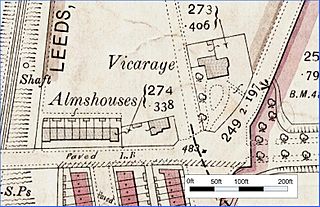
Size of this preview: 800 × 517 pixels. Other resolutions: 320 × 207 pixels | 1,561 × 1,009 pixels.
Original image (1,561 × 1,009 pixels, file size: 973 KB, MIME type: image/jpeg)
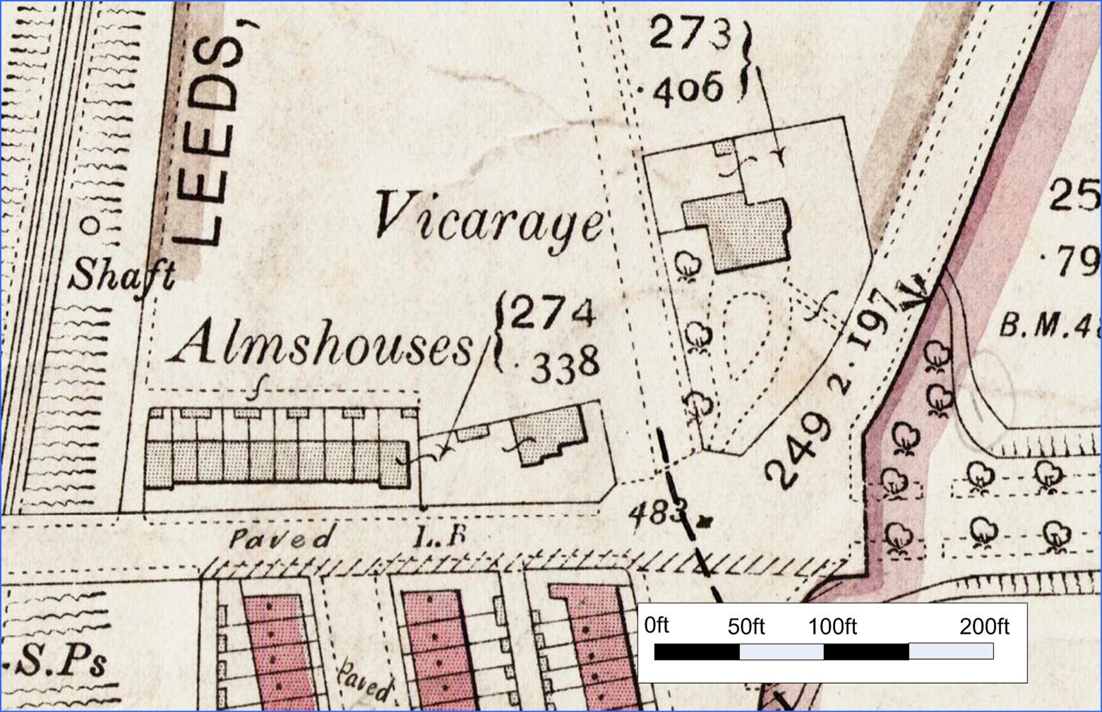
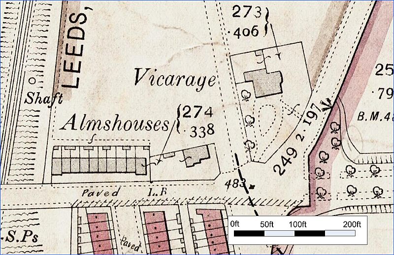
Description: Extract from 1:2500 OS map of west Bowling first published 1893. Shows Ripley Ville vicarage and alms houses.
Title: Ripley Ville vicarage map
Credit: Original publication: 1893 Immediate source: second hand book shop
Author: UK Ordnance survey (Life time: not applicable- OS a government department)
Permission: UK Ordnance survey retain copyright for 50 years. Copyright expired 1943
Usage Terms: Public domain
License: Public domain
Attribution Required?: No
Image usage
The following page links to this image:

All content from Kiddle encyclopedia articles (including the article images and facts) can be freely used under Attribution-ShareAlike license, unless stated otherwise.