
Image: Risser's Mill Covered Bridge Dot Map
Size of this preview: 660 × 600 pixels. Other resolutions: 264 × 240 pixels | 1,988 × 1,806 pixels.
Original image (1,988 × 1,806 pixels, file size: 197 KB, MIME type: image/png)
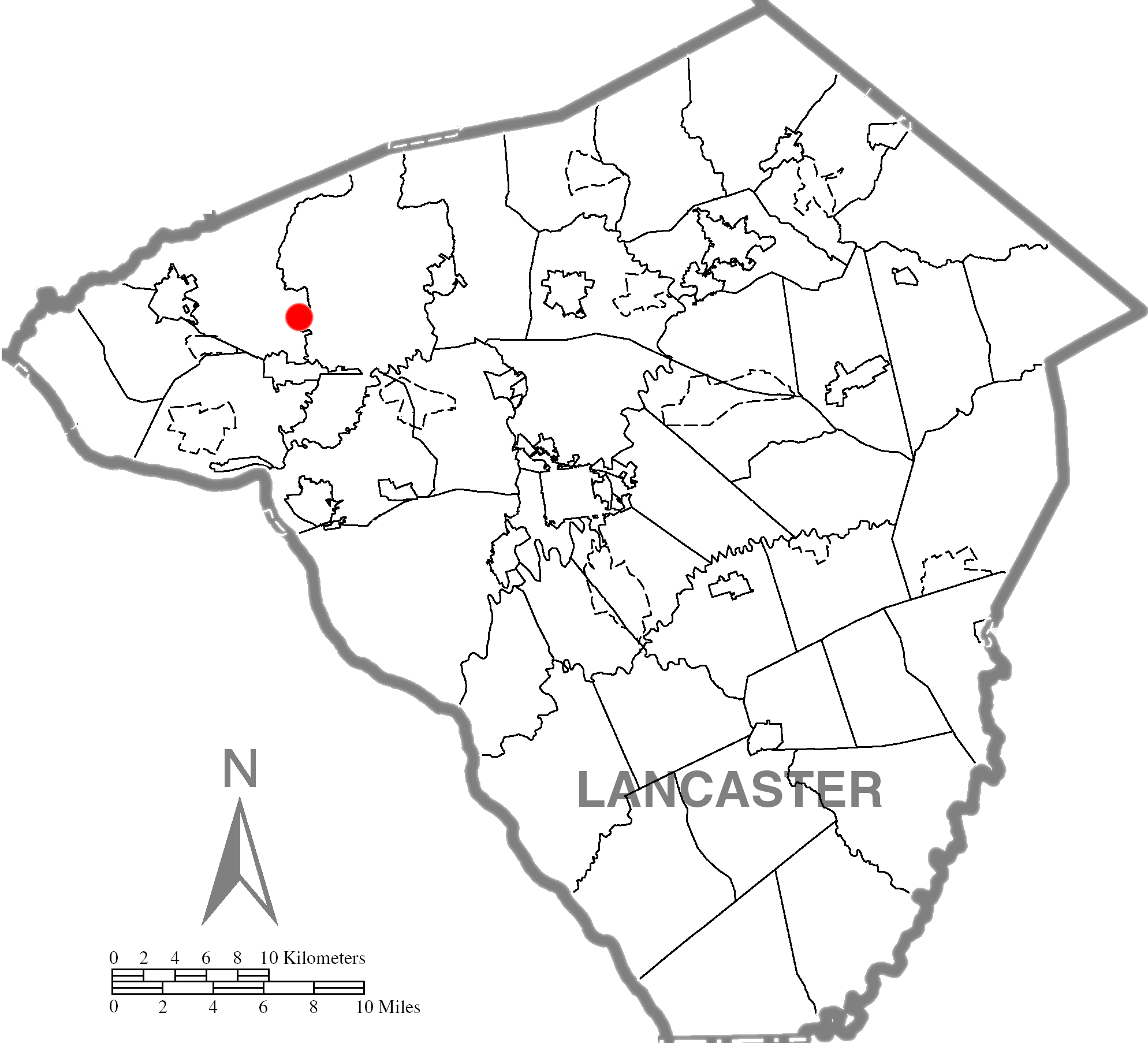
Description: Lancaster County dot map of the Risser's Mill Covered Bridge.
Title: Risser's Mill Covered Bridge Dot Map
Credit: Source image taken from the United States Census Bureau's website pa_cosub.pdf. Image was modified by Ram-Man.
Author: (c)2006 Derek Ramsey (Ram-Man) (from U.S. Census Bureau source)
Permission: You may select the license of your choice.
Usage Terms: Creative Commons Attribution-Share Alike 2.5
License: CC BY-SA 2.5
License Link: https://creativecommons.org/licenses/by-sa/2.5
Attribution Required?: Yes
Image usage
The following page links to this image:

All content from Kiddle encyclopedia articles (including the article images and facts) can be freely used under Attribution-ShareAlike license, unless stated otherwise.