
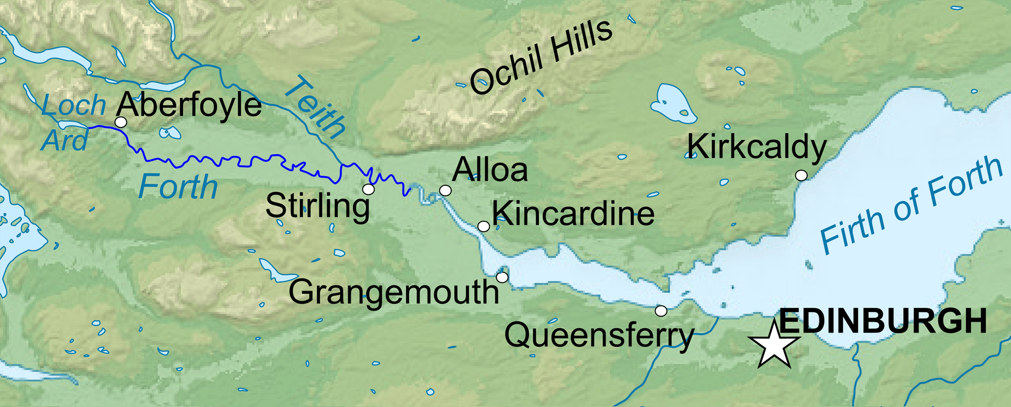
Image: River Forth course 3
Size of this preview: 800 × 322 pixels. Other resolutions: 320 × 129 pixels | 2,000 × 806 pixels.
Original image (2,000 × 806 pixels, file size: 981 KB, MIME type: image/png)
Description: Topographic map in English of ScotlandThis is a lighter raster JPG format version of Image:Scotland_topographic_map-en.svg which should be used in the article pages, the vector graphics version purpose being for modification and / or translation.
Author: Scotland_topographic_map-en.jpg: Eric Gaba (Sting – fr:Sting) derivative work: VanguardScot
Usage Terms: Creative Commons Attribution-Share Alike 3.0
License: CC-BY-SA-3.0
License Link: http://creativecommons.org/licenses/by-sa/3.0/
Attribution Required?: Yes
Image usage
The following page links to this image:

All content from Kiddle encyclopedia articles (including the article images and facts) can be freely used under Attribution-ShareAlike license, unless stated otherwise.