
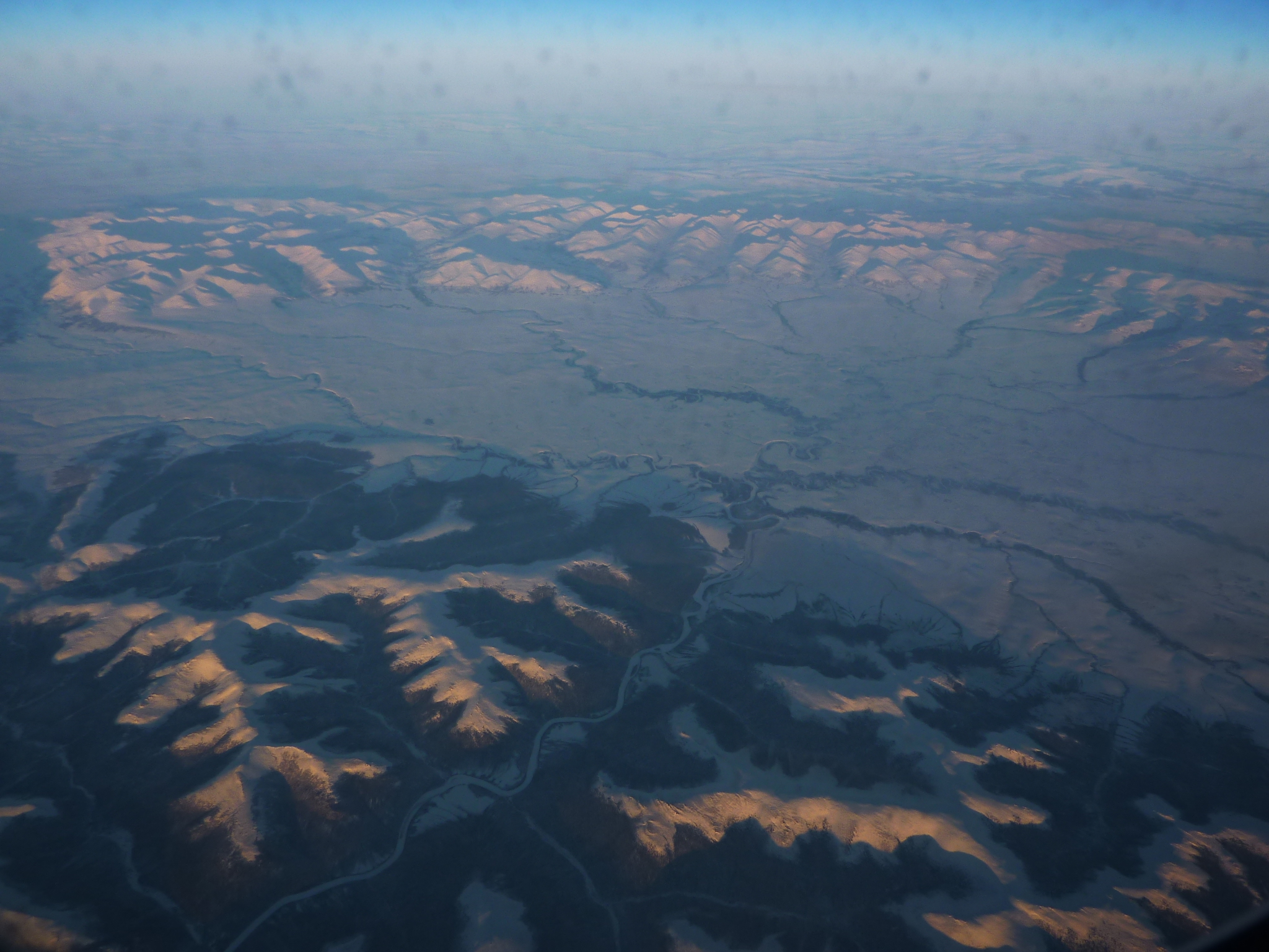
Image: River basin east of Nome - aerial - P1040600
Size of this preview: 800 × 600 pixels. Other resolutions: 320 × 240 pixels | 2,048 × 1,536 pixels.
Original image (2,048 × 1,536 pixels, file size: 1.32 MB, MIME type: image/jpeg)
Description: An aerial photo of a river basin about 60 miles ENE of Nome, AK. Looking north, toward the Bendeleben Mountains. Photo taken from an AA aircraft on a non-stop ORD-PVG flight
Title: River basin east of Nome - aerial - P1040600
Credit: Own work
Author: User:Vmenkov
Usage Terms: Creative Commons Attribution-Share Alike 3.0
License: CC BY-SA 3.0
License Link: https://creativecommons.org/licenses/by-sa/3.0
Attribution Required?: Yes
Image usage
The following 2 pages link to this image:

All content from Kiddle encyclopedia articles (including the article images and facts) can be freely used under Attribution-ShareAlike license, unless stated otherwise.