
Image: Rosendale Village 1875 map
No higher resolution available.
Rosendale_Village_1875_map.jpg (513 × 483 pixels, file size: 80 KB, MIME type: image/jpeg)
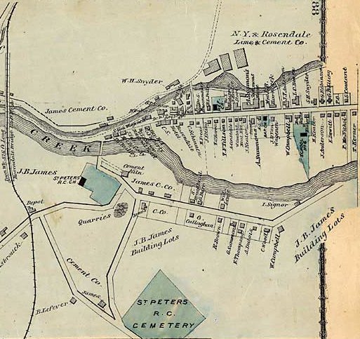
Description: Scanned page of an atlas of Ulster County, New York prepared by F. W. Beers and first published in 1875. Crop of Rosendale Village section.
Title: Rosendale Village 1875 map
Credit: Beers_Ulster_County_Atlas_Page088.jpg
Author: Beers_Ulster_County_Atlas_Page088.jpg: F. W. Beers derivative work: Gyrobo (talk)
Usage Terms: Public domain
License: Public domain
Attribution Required?: No
Image usage
The following page links to this image:

All content from Kiddle encyclopedia articles (including the article images and facts) can be freely used under Attribution-ShareAlike license, unless stated otherwise.