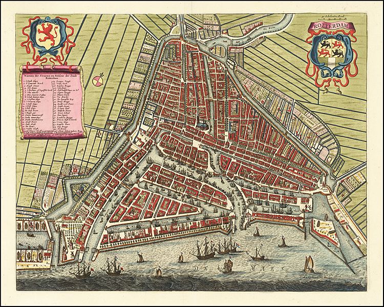
Image: Rotterdam Map by Frederick De Wit c1690

Description: Finely engraved map of Rotterdam, published by Frederick De Wit in Amsterdam.The map appeared in his town book of the Low Countries. De Wit's map of Rotterdam is very similar to the map from Joan Blaeu's Town Book from 1649. After the fire that destroyed Blaeu in 1672, Frederick de Wit had part of the copper plates from Blaeu's estate and issued it under its own name. Blaeu had his plan of the city made with the cityscape of around 1645 and gives the topography in detail and also reliably basically. De Wit supplements the map image with the ports and yards along the Maas and extends the legend. In the second half of the 17th century, Rotterdam was at the height of its prime.
Title: Rotterdam Map by Frederick De Wit c1690
Credit: https://www.raremaps.com/gallery/detail/62762/rotterdam-de-wit
Author: Frederick De Wit (1629-1706)
Usage Terms: Public domain
License: Public domain
Attribution Required?: No
Image usage
The following 3 pages link to this image:

