
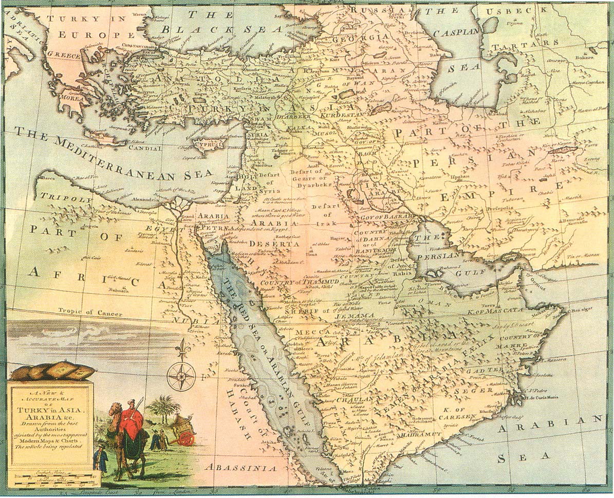
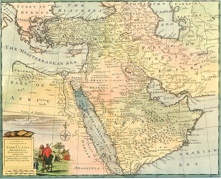
Image: Safavid Persian Empire
Description: This historical regional map of the Middle East illustrates Asien territories of the ottoman Empire as well as Persian Safavid Empire. Created by a British engraver named Emanuel Bowen between 1744 and 1752. Also showing the Persian Gulf in the map.
Title: Safavid Persian Empire
Credit: Fred Ramen, A historical atlas of Iran, published in 2003
Author: Emanuel Bowen
Permission: This work is in the public domain in its country of origin and other countries and areas where the copyright term is the author's life plus 100 years or less. You must also include a United States public domain tag to indicate why this work is in the public domain in the United States. This file has been identified as being free of known restrictions under copyright law, including all related and neighboring rights.
Usage Terms: Public domain
License: Public domain
Attribution Required?: No
Image usage
The following page links to this image:
